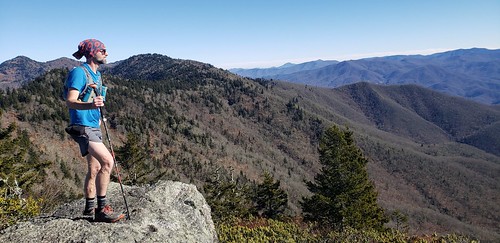
Starting from Pinnacle Park just outside of Sylva, Yuri and I headed up the West Fork trail and then over the top of Black Rock.

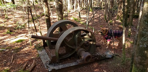
From there we stayed on the ridge top and went through some very nice stretches of spruce-fir forest with nice rocky outcrops and even some interesting logging artifacts.

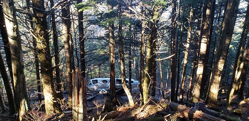
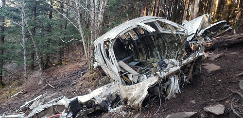
The ridgeline would take us across three six thousand foot peaks. Yellowface Mountain, Waterrock Knob and Browning Knob. The trail to the plane crash had several groups headed to it but when the plane appeared there was nobody but us there and we had a few minutes to think about it all to ourselves.

This is an interesting but quite somber site. You don't often get to see the remnants of a plane crash but it is nothing to take lightly. Two people died here. We took a look but didn't linger long.

The plane had been our destination and from there we turned around and retraced our route back to Black Rock as we enjoyed the unseasonably warm day and raced the sunset. It was a great route coming in right at 13 miles with 5700' of climbing.
Quality post, Clay. Sweet Buff, too.
ReplyDelete