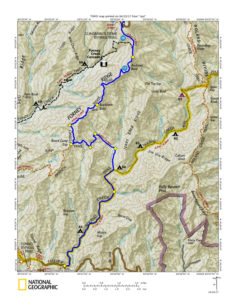
Without knowing the trails I didn't know what to expect. Obviously there would be plenty of climbing along the way (and then later descending) but I had no clue what sort of trail conditions I might encounter. Starting out by myself I was relieved to see that the first four miles of trail up Noland Creek was a gravel road. While roads are not my prefered running surface the grade was gentle, the footing good, and I knew that many hours later as I made my way back down the mountain an easy final four miles could be exactly what I needed.
It was early and I had the trail all to myself. I slipped by some silent tents as I made the turn up Springhouse Branch and then trail turned from gravel to singletrack as I continued up the mountain. There was a smattering of backpackers just past the turn onto Forney Ridge but they quickly faded behind me as I plodded along. The grade was gradual and other than some fading bench cut was in great shape and the ascent seemed almost easy.
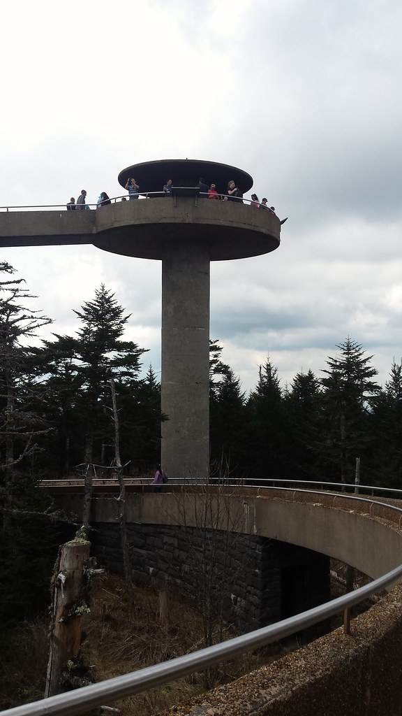
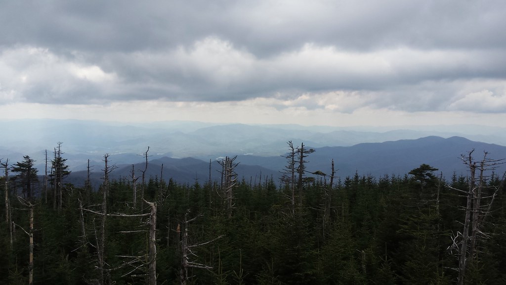
Once I got to Andrew's Bald it was clear I was near the top. Not because of the view - which was amazing, of course - but because of all the people. So many people that there was no question that this was a mountain with a road to the top. I felt like a sucker for running all the way up there when there was a perfectly good road and a perfectly good truck that could have taken me there. But I had already come along way so I just carried on to the top. It was an endless sidewalk of day hikers and tourists and I had to utter a thousand excuse me's and hello's as I squeezed my way through. There was nothing up there I hadn't seen before so stopping at the top wasn't necessary and I just did a quick turn before heading straight back down through the throngs of sightseers.
Back at the bald I bid hello again to the backpackers I had passed on my way up and then was returned to solitude as I entered the tree line again. The trip down was as uneventful as the trip up but the miles kept steadily adding up as I started to slowly slow down. By the time I hit Sprinhouse Branch again my trusty watch was dead and I took the time to explore some of the not so ancient ruins along the way before making my way back down to Noland Creek.
Those final four miles were the perfect end to the run. While the last two miles to the summit had been plagued by hordes of people the begining and end of the run were just me, alone, in a seemingly endless expanse of woods running alongside a pristine mountain stream.


What do you use to make your maps?
ReplyDelete