In case you haven't heard there is a
new race in town. The inaugural Pisgah Running Adventure Race is
bound to become one of the biggest running events in the region. The
mountain bike edition is going into its twelfth year and sold out in
just hours this year. PRAR promises the same fun just without silly
bicycles to get in your way. I've done PMBAR the last eight years - it was my first race ever and I've done it ever since - and no matter the style I've done it in or how I've finished it has always been the best race of the year. The fast sell out shows that I'm not the only one who likes it. Normally I do not use this blog to plug or advertise any events or products but this race is going to be so much fun that I want everyone to sign up for it.
With a 30+ mile run on the horizon I am going to need to keep running. I tend to prefer running to biking in the winter as it is easier to stay warm and it also is the perfect mode of transport to explore the many trails in the region that mountain bikes are not allowed on. I've been to a lot of those trails but there are still a lot I have yet to see. Until last weekend the closest I had gotten to the Linville Gorge was a 60 mile bike ride around it. That changed on Saturday when a group of four headed in for what we planned to be a nice 16 mile loop.
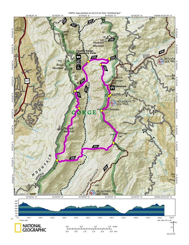
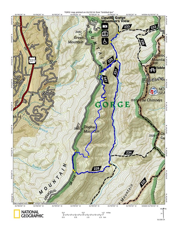
I had mapped out a real good loop for us that looked like this:
As you can see it looks really good on paper. A true loop that should give a real good representation of what the Linville Gorge has to offer.
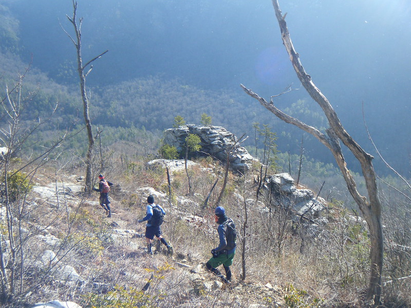
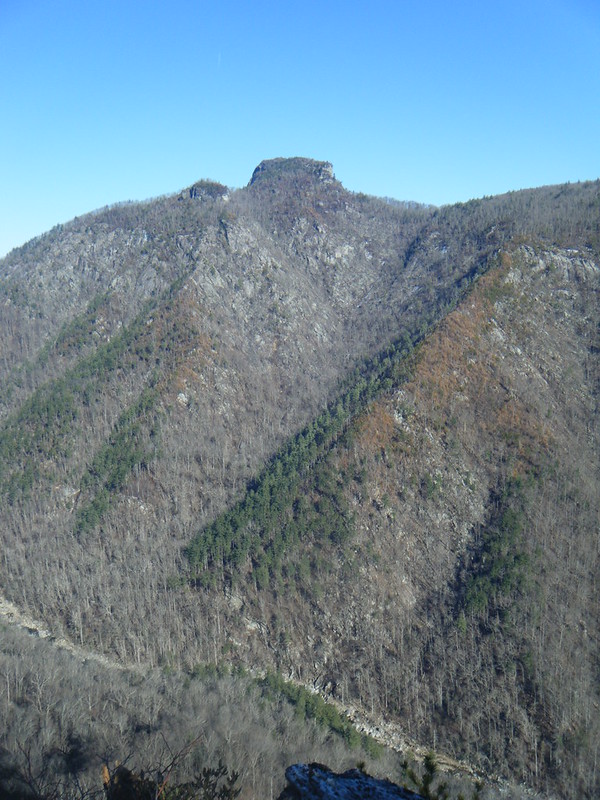
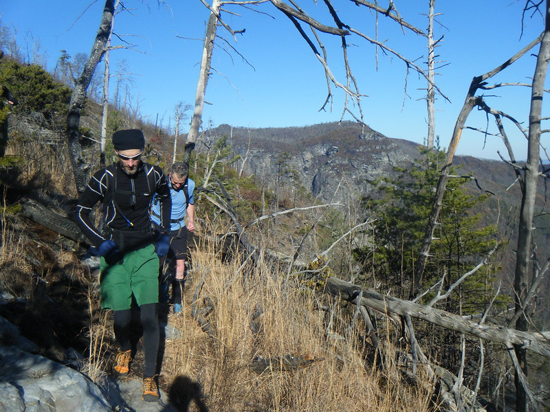
Things started out really good and as we headed down the Pinch In trail I was immediately blown away by the scale and grandeur of this exotic and wild land just outside my backyard that I had never been to.
Pinch In dropped us straight down to the river and the heart of the gorge. From there we stopped at a large campsite to regroup and I looked at the river and thought about the sign at the trail head warning us against a bridge being out. It was another cold winter day with the temperature somewhere around 20 degrees and the river looked big, cold and deep. I wondered what was in store for us.
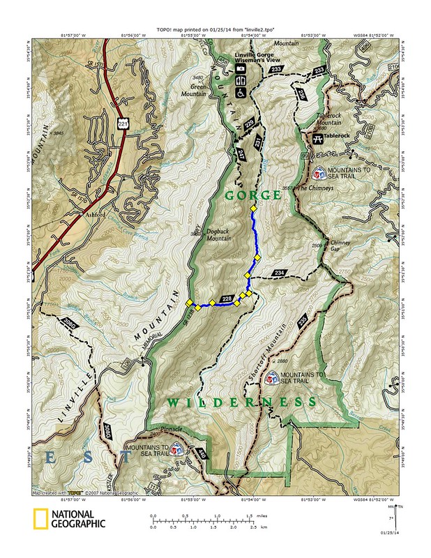
I had emailed everyone a map and directions and thought we were all navigating together. Yuri with his phone, Jon with a map and phone, me with my memory and Chris with his carefree attitude. Jon's phone showed we still had a ways to go up the river trail to get to Chimbric Ridge so we took off running. I was really enjoying the very technical trail and outstanding scenery and started to get lost in my own thoughts. After awhile my navigational memory kicked in and I realized we had to have passed our intersection so I stopped the group and we pulled out our map and phones and saw that we had gone a difficult mile past our destination.
We had a pow wow about what to do and after much debate the decision was made we would head back, find the trail and finish the loop. So back down the rocks we went.
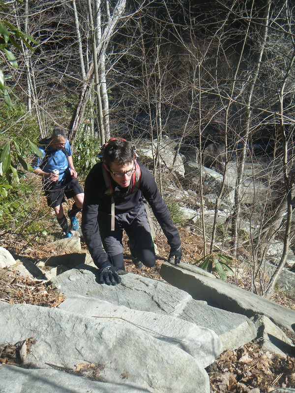
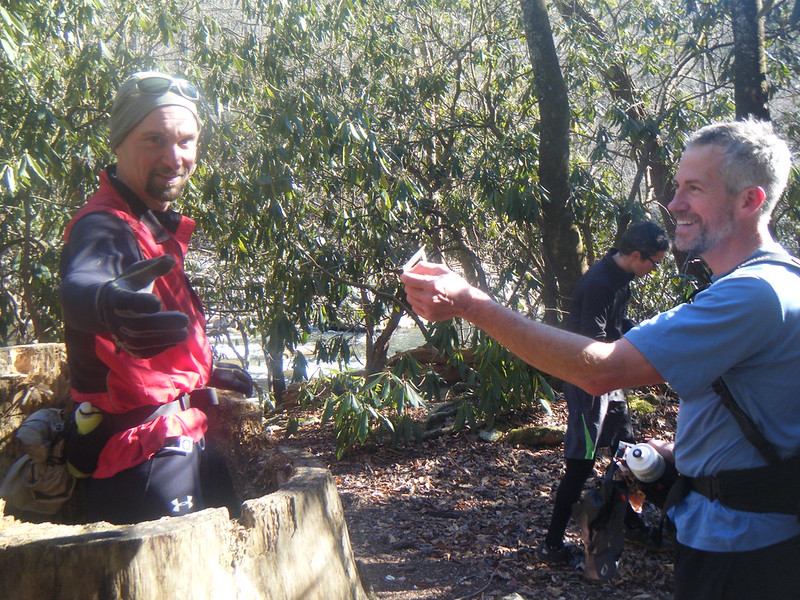
We stopped frequently to look for a trail on the other side of the river and a way across the river. Along the way we made sure to have our share of fun.
I finally found the elusive Chimbric Ridge trail on the other side at the same campsite we had regrouped at an hour earlier where I had mused about how we would get across the river. There was no bridge and it was a hundred feet across with waist deep water. If we wanted to cross we would have to cross where it was wide and deep or else risk tragedy in the swift water. Fording would require undressing and keeping our clothes dry and out of the water would be paramount. With twenty degree air temperature and water in the 30's it would be a serious crossing.
We scouted around for the best spot and discussed our options to which I boldly announced:
"We can swim it if we try."
Chris, who is training for Mitchell, was with me but Yuri and Jon were not so sure. I was serious. I had gone through the sequence of events that would transpire in my mind and knew the amount of suffering we would endure but knew we could make it if we tried. Perhaps they knew the song and the fate of the knight who uttered those same last words. Of course they were right. There would be no Chimbric Ridge trail for us this day.
This left us with no other way to go but back up the river trail once again. It was the third time of the day for us on that stretch of trail. We went all the way up to the site of the Spence Bridge where we met some backpackers whose route had also been terminated by the impenetrable river.
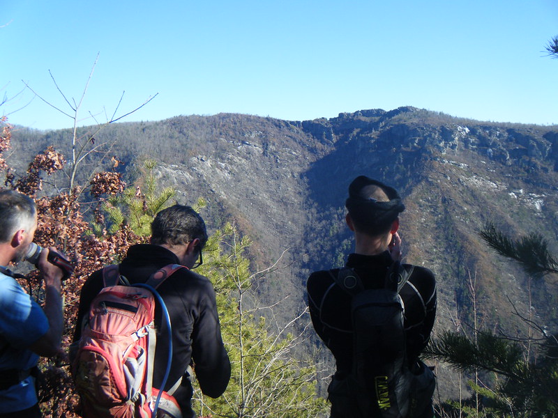
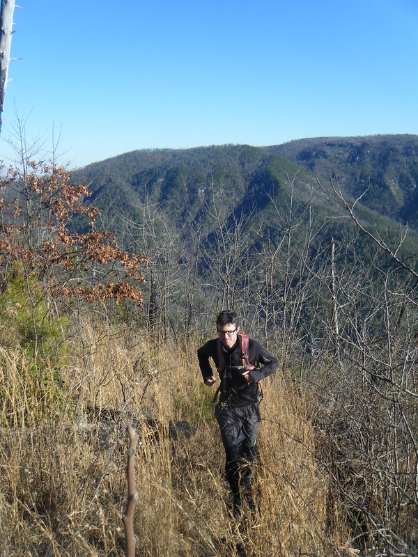
The Conley Cove trail was clearly marked and we took it and started our climb out of the gorge. It was steep but a lot easier to run than the river trail and Chris and I led the charge up to the Rock Jock trail. We had been in the gorge for many hours and with darkness not too far off I decided not to even bother looking for the LOST trail. Rock Jock was so outstanding that I didn't even wonder how the old trail could be any better. Enormous views were around every bend.
Rock Jock ended with a grunt of a climb up an old burned ridge to the Kistler Memorial Highway. A half mile of gravel later and our journey came to an end.
Thirteen miles. Six hours.



Truly enjoyed your musings on your hike. Ive never hiked but one time in to the gorge and that was from the Wison Creek area I think, I didn't plan the trip so I just went along for the hike. It was summer so cold was not a problem, however the trail became something we had to hack our way through. Neverthless It was a wonderful 2 nite trip that ive never forgotten and I desperately want to see some of the beauty you have described here. My problem is finding someone experienced to hike with. So, thanks for posting .
ReplyDelete