We had been running for half an hour and were starting to really start to gain elevation when everything went wrong. There was a waterfall and then the trail ended. Wrong, wrong, wrong. Maybe we missed a turn. Down we go. No, no missed turns, no developed tread, no blazes, nothing. Wrong, wrong, wrong! Down to another road, more developed, but still all wrong. Let's check the iphone.
"If we want to be going up the ridge, it looks like we should be over near this other road," Yuri said while pointing at the screen.
I looked and couldn't believe what I saw:
"Yes, we should be over near that other road. We aren't on the trail and didn't even park at the right place." Fuck, fuck, fuck!
Two hours of driving one way to pick off this remote trail and we can't even find the fucking trailhead! And to make matters worse we couldn't just backtrack and drive back to the right spot - that would waste too much energy and even more precious time. There were clearly roads that would lead us to Woody Ridge but there was no telling which one to take or exactly where it would put us or anything else. This was not at all what I was expecting or wanting for the day.
In order to salvage some part of the day we had no choice but to go up. We followed a faint trail that went on for a long while. It was basically a bushwhack but at some point it had been a trail. It was a big climb, many thousands of vertical feet, and it started to get steep. There were some interesting rocks with some great vantage points. Then after crossing a small knob the trail disappeared and it got really steep. I was dressed for running, not bushwhacking and had planned on running, not crawling and as such was not exactly having fun with the change of events. I tried to keep moving fast while Yuri carefully tried to pick his way through the brush.
The final push to the top of the ridge was the worst of the day and then the short drop down to the crest trail was straight through small shrubs that left my shins bloody. We took the short route and went right on the Crest trail heading for Woody Ridge. I have done Colbert Ridge before and since I had driven all the way out there to do a new to me trail I wasn't going to miss Woody Ridge. We had been told that Woody Ridge was the most challenging trail in the Blacks and while there were several very rocky sections that Duma struggled a little with I'd still say that the Crest trail is more difficult. There were several inches of snow on the ground and with the trail dropping thousands of feet in just a couple of miles it was steep and slippery which made for more glissading and tree swinging than trail running.
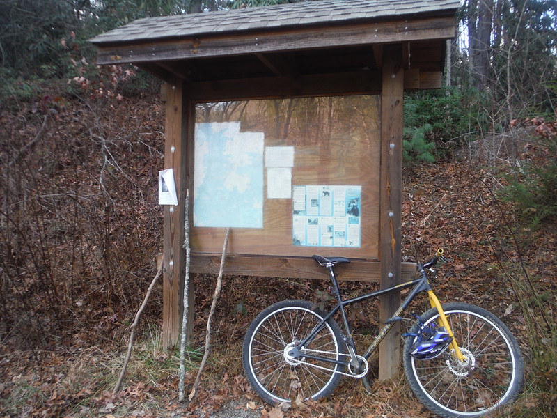
We finally got to do some running at the end when we had to run several miles back to the truck on the road. Good thing we had left the bike at another trailhead miles away! In the end the loop that should have looked like this:
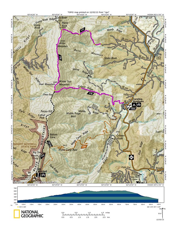
Looked like this:
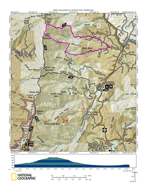
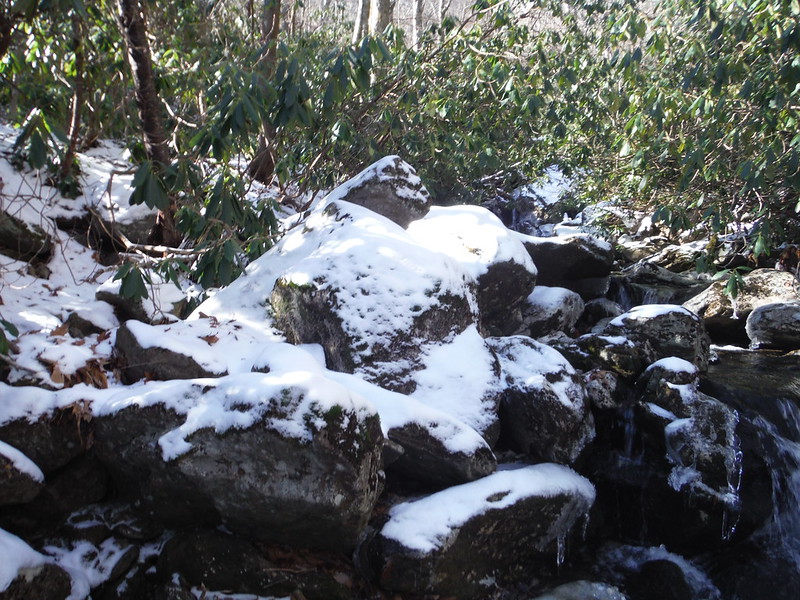
Lost along the way:
Looking up at the Crest:
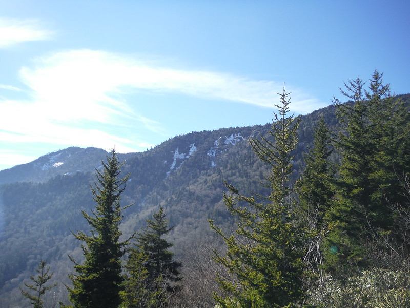
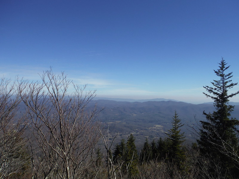
View abounded:
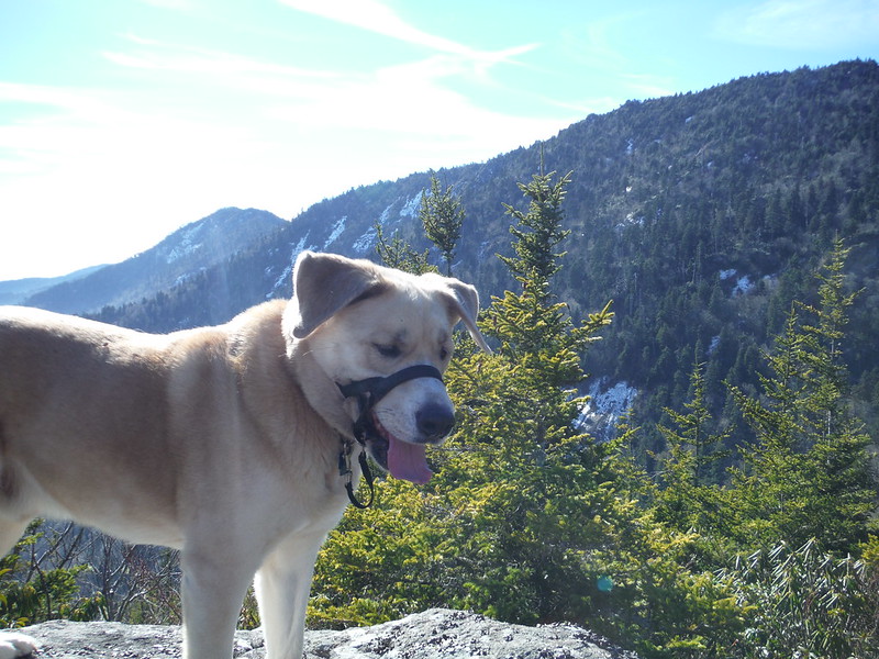
Yuri had wondered if Duma was up for the trip but there is no place this dog cannot go:
The shuttle that never happened:
Very nice!
ReplyDelete