FR1073 > Harris Creek Horse Trail #204 > Woods Mtn. > BRP > Curtis Creek Rd. > Sugar Cove #219 > FR1188 > Hwy 80 > Tom's Creek Rd. > Old Tom's Creek Rd.
Here is what it looks like on a map:
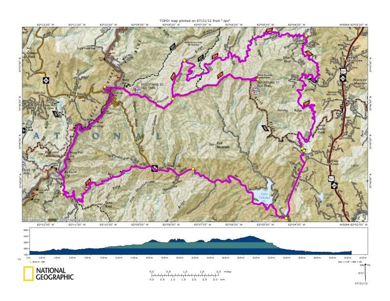
It came out to 45 miles and took a solid 8+ hours of ride time and was one of the best and most challenging rides I have done in awhile. There were many times along the way when I thought about bailing and pushed on instead. Then when it was time to bail out there were no bail outs left and I was forced to suffer through the most painful mile of forest I have ever encountered.
The adventure started with finding the trail head. It took a few minutes of driving around Tom's Creek before I realized what at first glance might look like just another driveway in the residential area was indeed FR1073.
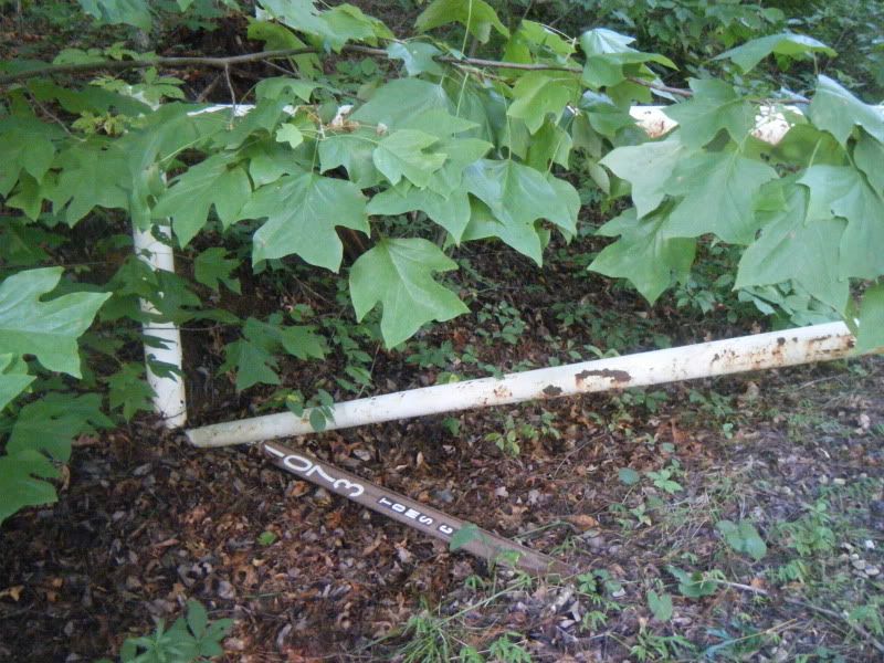
And then up the gravel road I went. FR1073 quickly gave way to the Harris Creek Horse Trail. The first stretch of this 18 mile 'trail' turned out to be a fantastic stretch of single track. It was rolling and flowy, completely unexpected and well worth checking out if you are ever in the area. After several miles the single track ended at FR469A. From here the rest of the Harris Creek Horse Trail is on forest roads until the final mile - a single track push up Timber Ridge to the Woods Mtn. trail. Along the way there were a few turns that required stopping and pondering and looking for trail signs that were usually shot up and laying in the weeds.
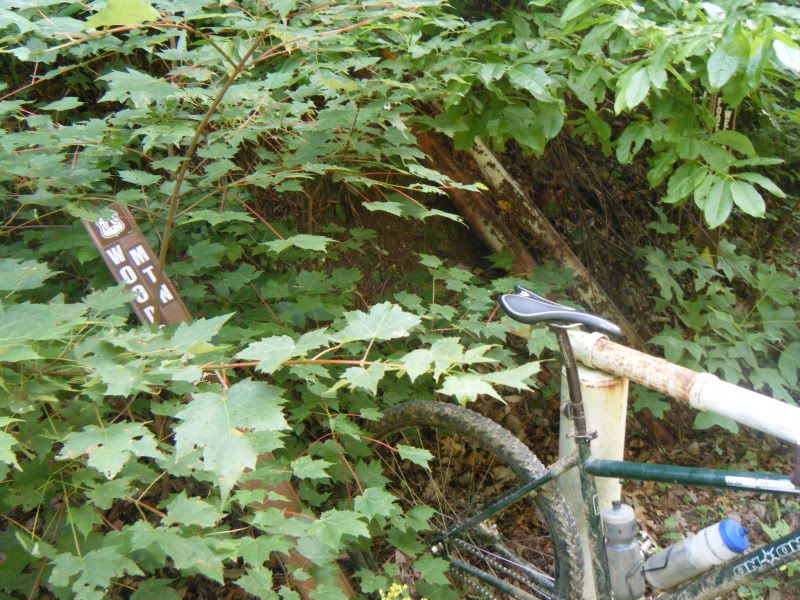
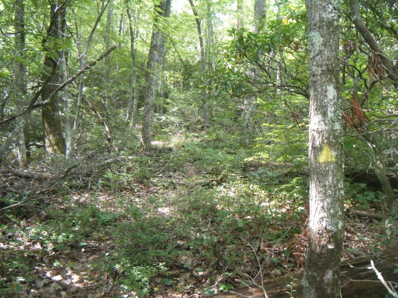
It is interesting that sign says Woods Mtn. as according to my map it would have been the Harris Creek trail, not Woods Mtn. There was even a special yellow triangle blaze for this Woods Mtn. trail but they didn't use many of them and it did not look like many people make it out to the end of FR469 at all. Timber Ridge was easy enough to locate and was a very pleasant, albeit steep and overgrown walk up to Woods Mtn.
About halfway up I encountered this Timber Rattlesnake sunning itself after a nice meal on it's namesake ridge:
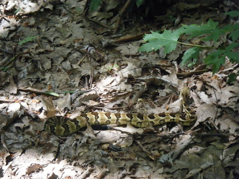
Over the course of the ride in addition to the snake I would see wild turkeys, deer, a bear, a bobcat, a hawk and not a single human being.
Timber Ridge led me to Woods Mtn. trail which is also the Mountains to Sea trail and from there I went on up to the top of the mountain and the old fire tower lookout site. The trail switched between a buff cruise to killer hike-a-bike and then just settled into hike-a-bike mode for the final push to the top. It was steep going up with big grade dips like those on Green's Lick and for a few minutes I was a little worried about what the return trip back down would be like. I was way out there and other than having shown Terri the loop on the map nobody had a clue where I was. I paused briefly to ponder my fate and look out over the woods at one of the grade dips:
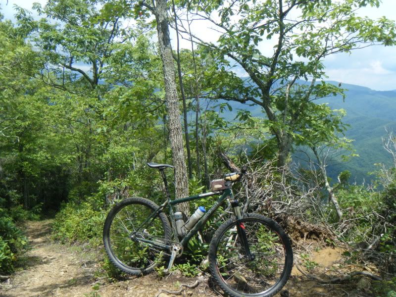
I made the quick detour to the top of Woods Mtn. and the old fire tower site. The summit was completly wooded with no views and not much to see or note.
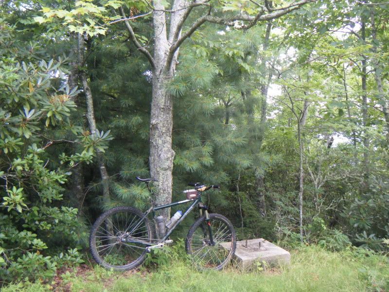
A quick turn and burn and it was on down everything I had just pushed up. As it turns out the big downhill wasn't that big after all and I had nothing to worry about. The downhill only lasted a few minutes and after that Woods Mtn. became a series of short descents and then long pushes. It started storming and I stopped at the top of Timber Ridge to ponder my fate. The ride was already becoming quite big in time even if short in miles and with thunderstorms looming I thought hard about bailing on the rest of Woods Mtn., Curtis Creek and Sugar Cove. The storms seemed to be having a hard time forming so I rolled right past the only good bail out and forward on the route.
There was another long push and then some fun single track with some technical spots with lots of exposure. Not the place you want to not make the move:
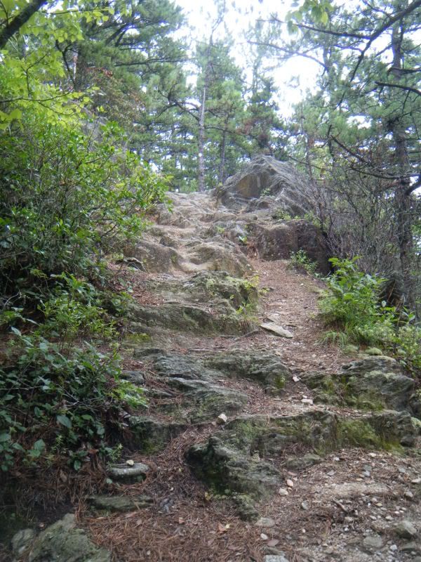
The Blue Ridge Parkway came easy enough and the four mile climb to Curtis Creek Rd. was only notable because along the way I discovered I was out of water. No big deal, Sugar Cove would be a easy little descent that would take just minutes to get me to a nice cool mountain stream. Down Curtis Creek Rd. I went and found Sugar Cove right where it was supposed to be. It looked more like a road than a trail and also looked rather overgrown so I checked the map and gps and confirmed it was the right place and down I went.
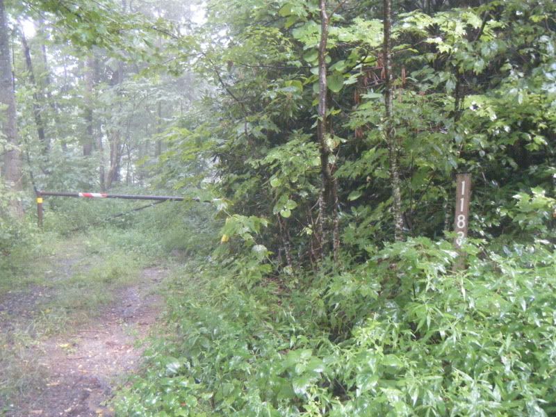
Sugar Cove was indeed very overgrown. Immediately I was wrestling my bike through dead fall as blackberry briers exacted their toll on me. I though the only thing that could have made it any worse is if there was Stinging Nettle and as soon as I had that thought the Nettle replaced the briers. Nobody had been on this trail in a long time and the Nettle was chest deep and very painful. Once again I pondered my bailout options but there were no bailouts left - the only way back to the truck was the way I was going, Stinging Nettle or not. I was worried the whole three miles of the trail, and then the four miles of gated road after it, was going to be just as overgrown and would take me hours to suffer through.
When I got to the first stream the pain from the Nettle was so severe that I laid in it and used the abrasive action of the sand and stones to try and scrub the pain away. As I laid there I remembered that I hadn't had anything to drink in hours and that it was really hot out. The Nettle was so bad I had forgotten everything else!
Luckily, after the stream the Nettle let up a little and I was able to actually ride my bike some. By the time I hit the gravel it had taken over an hour to go just a few miles. Sugar Cove was one of the most painful things I have ever experienced and I've never been so glad to see a trail end. It was so bad I didn't even stop to take a picture of just how bad it was.
The ride ended with a long singlespeed spin down highway 80 - it was nice and scenic and provided the perfect opportunity to reflect back on the long day.
Wow, you are the man. Thanks for the details. I think I'll avoid Sugar Cove at all costs!
ReplyDeleteMatt
Epic ride. Brings back lots of memories of misadventures in the old backyard with exception of being on foot. Can't imagine trying to ride some of those trails. Thanks for the report!
ReplyDeleteI've had this one on my tick list for a few years now. Great ride report; I'm hoping to get out on this before winter. Getting lost in Pisgah on a bike is one of my favorite past-times!
ReplyDelete