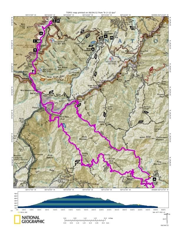
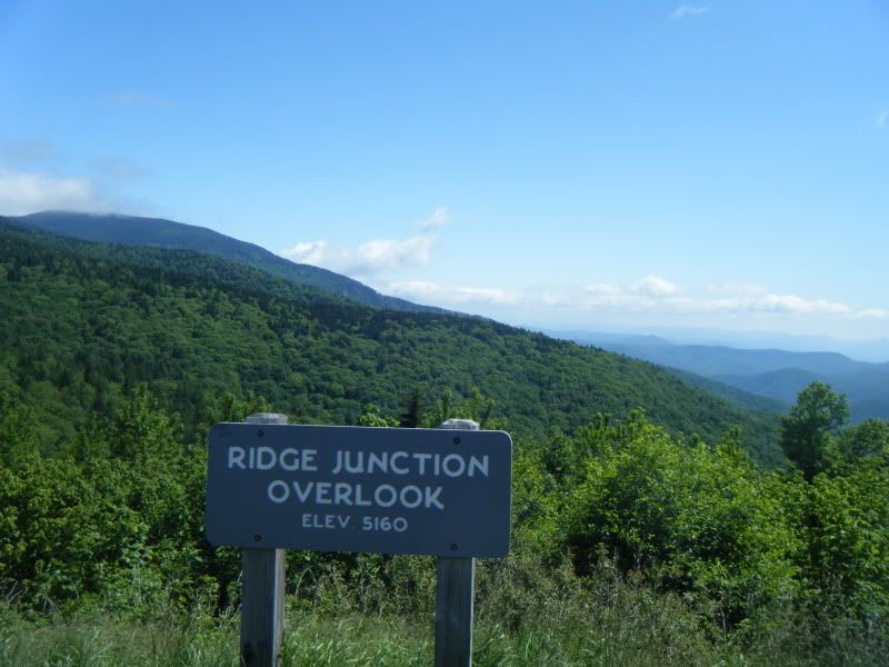
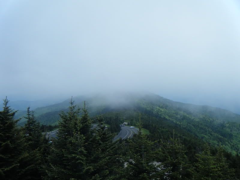
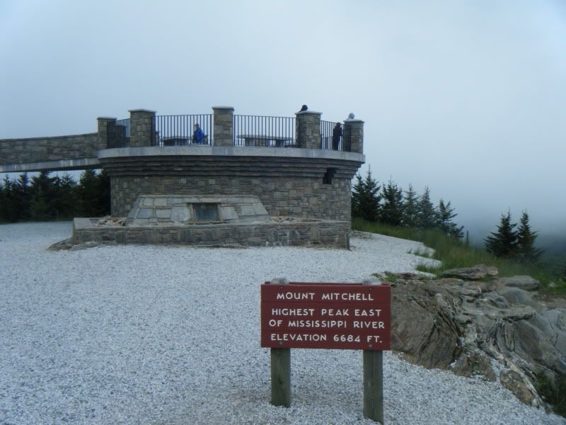
It had been years since I had been on Jerrett Creek or Heartbreak and I had never been on Newberry Creek or ridden a bike to the top of Mt. Mtichell before so this was a very different sort of ride than I am used to. I was fulling expecting to have to wrestle my bike through an overgrown mess of a trail on Newberry Creek but it ended up being a very nice stroll up through a big cove with old growth trees. The weather was slightly cool with wide open Carolina blue skies and somewhere along the parkway or on 128 I entered another climate zone and the warm sunshine gave way to clouds and cold on the high mountain ridge. At the summit area several people asked me about how far I'd ridden and why I'd picked a mountain bike with one gear for the trip.When I told them I'd started from Old Fort and had come up a trail they looked at me funny and backed away slowly. I know how to take a hint so I didn't linger for longer than it took to snap a picture. With a long cold descent ahead of me I stuffed my map into the front of my jersey to break the wind and headed down the mountain. By the time I got to Heartbreak I was back in the regular climate zone with great big huge blue skies and the rest of the ride was like a dream.
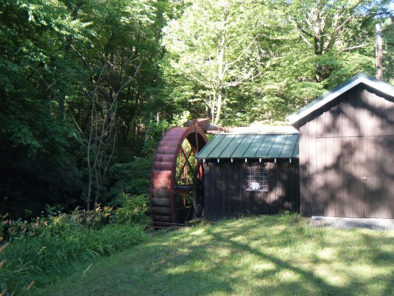


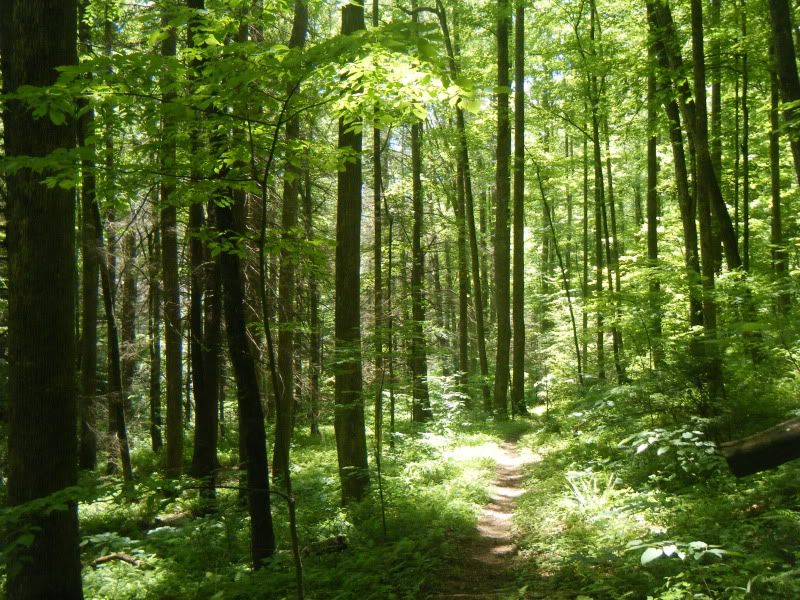
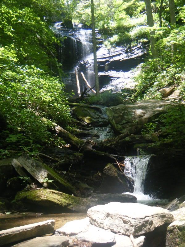
Sunday I took Duma for a little Pisgah run that is notable because somewhere along Buckhorn Gap Duma got tired of running across the creeks and started going across the log bridges. For years this dog has avoided bridges at all costs!
Avery Creek > Clawhammer Cove > Clawhammer Rd. > Buckhorn Gap > Twin Falls > Buckhorn Gap > Avery Creek

Hmm ... Kim goes out of town in a couple of weeks. I've not been to Mitchell. My curiosity is piqued ...
ReplyDelete