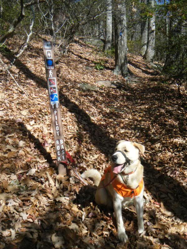
At a half mile long I wasn't expecting much out of the trail but like always I was wrong and the trail was a nice surprise. There were several nice overlooks and lots of little rocks and of course one very big rock. I was tempted to walk/climb up it but decided not to do anything stupid so I settled for just looking at it.
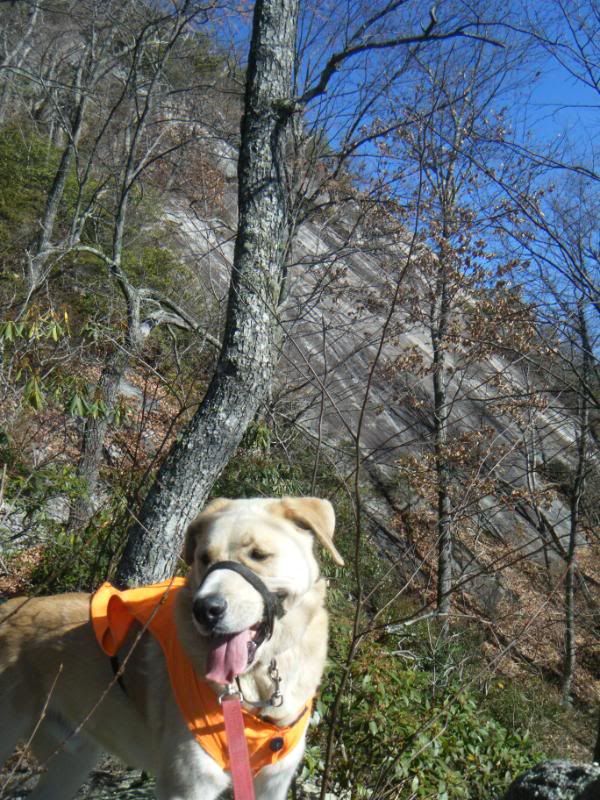
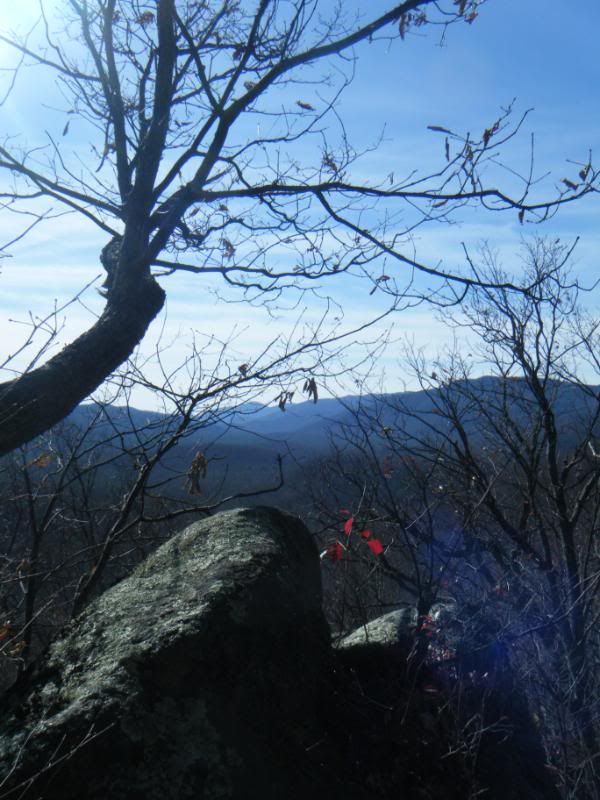
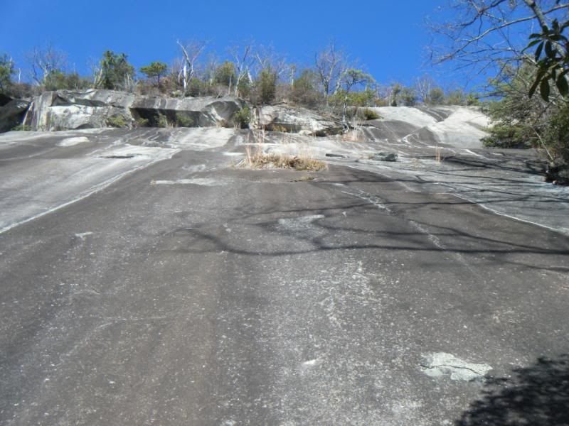
Once we hit the end of the trail we just kept going. We skirted the edge of the rock until it ended and then we did a short bushwhack down to FR5014. Since Pilot Rock had been so much fun I set our sights on the base of Slate Rock. Slate Rock has always intrigued me more than Pilot Rock so I took a bearing on it and we bushwhacked in a straight line for it. We hit Pilot Cove - Slate Rock trail without a problem but soon after crossing the trail the going got very rough. Lots of very tight rhodo and green briars made for an unpleasant experience for such a nice day. If that wasn't bad enough there were three very steep and deep gullies that we had to traverse. I kept checking the map to see why such an apparently flat trail was so dense and angry. I was expecting a casual walk through a nice fern forest but instead we were wrestling our way through a rain forest. Imagine that.
We got very close to the base of the rock but I decided that was enough and we turned around and began wresting our way back. The return trip was slightly easier and when I saw a mountain biker gliding through the woods just a few feet in front of us I knew we were saved. I'm guessing there is a much easier way to the base of the rock, likely by skirting the edge via the switchback on Pilot Cove Loop, and I plan on going back and exploring it further.
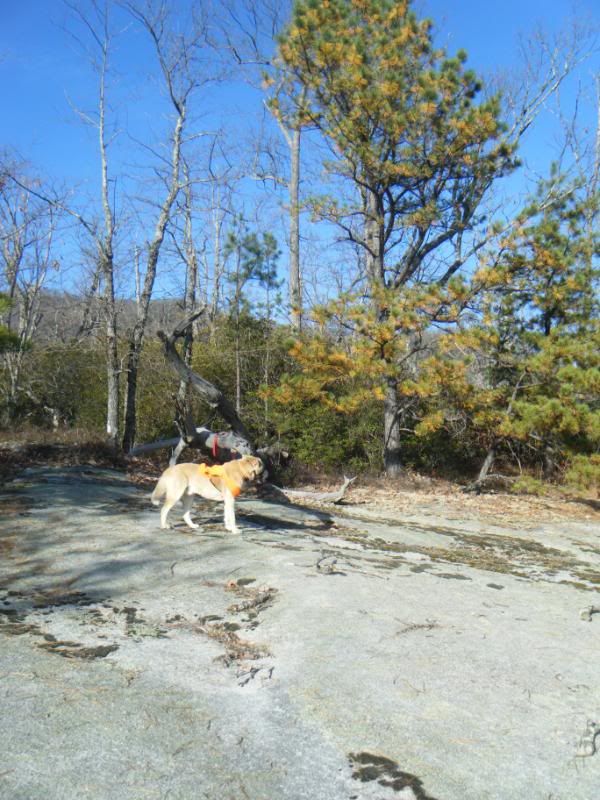
On the return trip back to the truck we hit one more rock I have been wondering about. From the top of Pilot Rock you can see a flat rock on top of a little knob somewhere near the bottom of the trail. A short bushwhack and we were there. Dividing Ridge:
Sunday I met Dennis in Pisgah for a fun little loop:
276 > 477 > Clawhammer > Buckhorn Gap > South Mills River > Pink Beds > 276 > 477 > Club Gap > Buckwheat Knob > Bennett Gap > 477 > 276
At Buckhorn Gap we heard brakes coming down the backside of Black and this gentleman came through the trees. It was his first ride in Pisgah and he had just come up Black. He asked "Are the Blue trails more difficult? There was a lot of walking back there." But he had an enormous smile and remarked how incredible the ridge top was.
I assured him that continuing on Black to Buckwheat and Bennett was a better idea than taking the entire length of South Mills River, all 14 river crossing, and then going up Turkey Pen Gap. And we went our separate ways.
The Pink Beds kick ass!
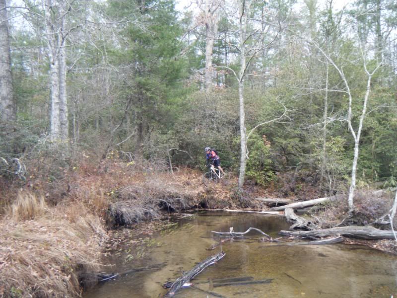
Dennis is just coming back after having surgery and has graduated up to big wheels. He used to be an extremely impressive technical climber and I was curious to see how the big wheels and hard tail would change that. Well, he almost cleaned Club Gap:
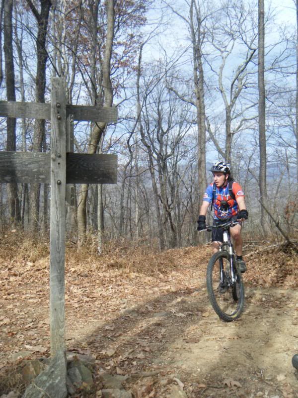
Now that the leaves are down Bennett is riding better than ever!
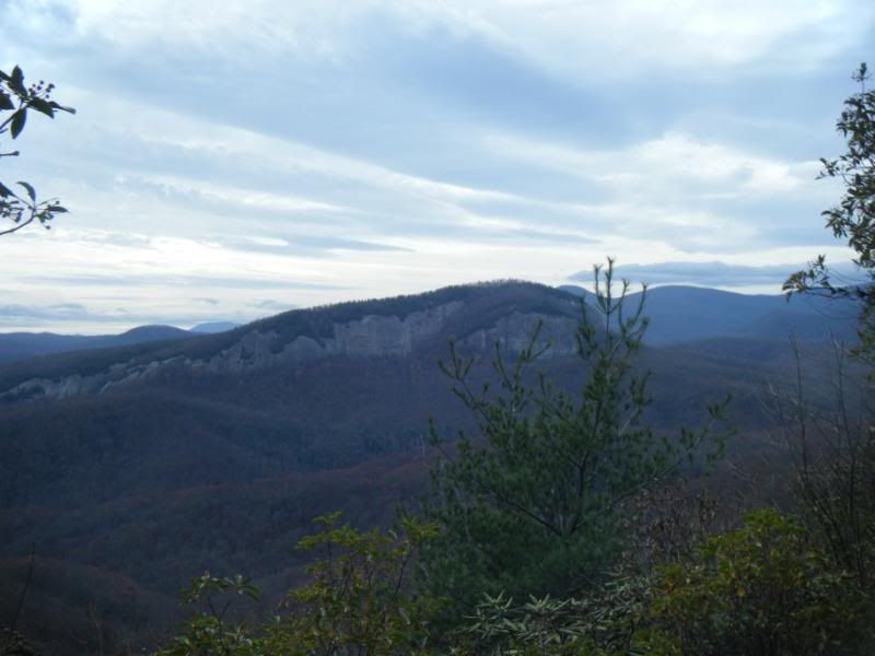


I gotta stop reading your posts. Makes it very difficult for me to be sitting in my office all day wishing I was out exploring.
ReplyDelete