Sucks for him. If anyone wants to send him a steak or something email for my address (he likes t-bones and sirloins but will take what he can get).

So, about that mini adventure: after all the storms on Friday night and Saturday morning I didn't want to drive too far and I still felt like I had unfinished business on Bearpen Mountain so that is where we headed. Bearpen is the mountain highway 276 wraps around between FR477 and FR475. If you are looking to take a trail up it the closest you are going to come is Coontree or lower Bennett but those really aren't even that close.
Last time I went up via Coontree, which was too easy, so this time I parked on 477 at White Pines and tried to find the little stream that comes down off the saddle. I wasn't quite sure where the stream on the map was (the woods were very wet and there were streams everywhere) and after some investigating decided this branch was it based on the culverts.

So, we headed straight up the mountain from there. Straight up is the key phrase in that sentence. This was a thousand vertical foot bushwhack over less than half a mile. Straight up. Steep and treacherous and no signs of other people dumb enough to walk, crawl, or climb up there and so of course we discover our first waterfall.
Ladies and gentleman, I give you Bearpen Falls:
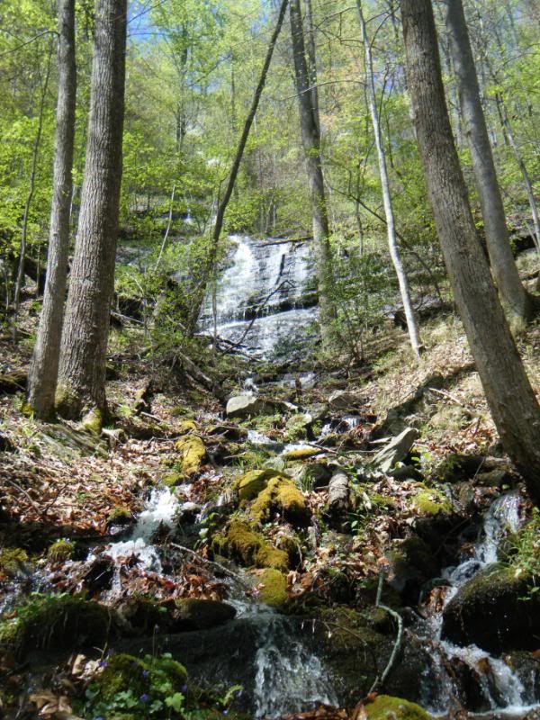
This was a triple falls and was flowing quite good. But I must say that I am not sure it would have been flowing if we hadn't had a few inches of rain the night before. The stream is not on the 780 map (I haven't checked the USGS quads yet, but it should be on there) and I can find no record of a waterfall there so if when I go back to check in a dryer time and find water falling this indeed is Bearpen Falls.
If you want to go up and check for me, great! Just please be careful (remember the part about 1000' over half a mile?). I slipped and fell three times and for a quick second felt like I might be pushing my luck but still I pushed on up.
Nothing dangerous about this, I'm thinking I'll get this waterfall added to the dime tour:

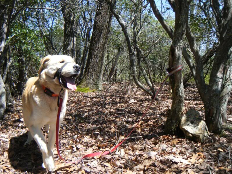
Duma could handle it just fine though:
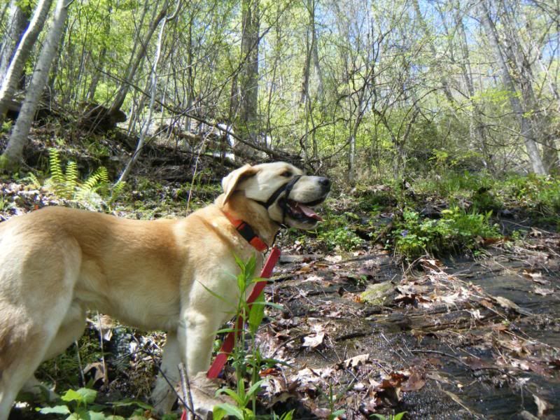
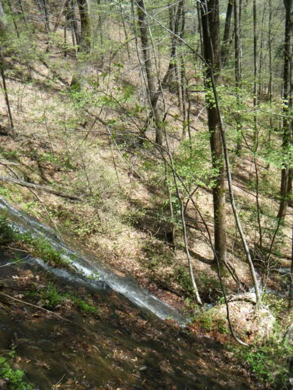
After the waterfall I pulled out the gps and realized we weren't on the branch on the map. Oh well. The terrain was still extremely steep and getting to the top of this 3400' mountain was not easy.
We came up this drainage and still had 300' to go from here:
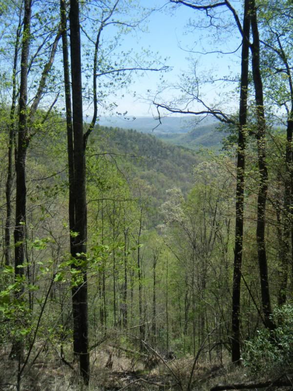
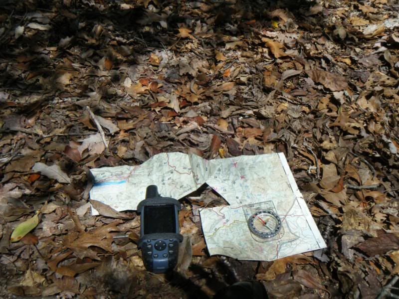
The gps is a fun novelty but the map and compass are much more reliable.
At the geographical top of Bearpen Mountain. There were a few signs of human life including some cut branches and the hole in this rock at the exact top of the mountain. An interesting summit marker.
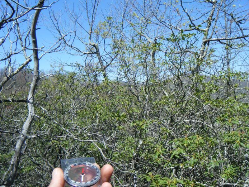
From there we headed North for the saddle which required the compass as the rhodo quickly got very dense and my best bet was to hold a bearing as I crawled along. A brief opening in the rhodo allowed me to take a real good bearing:
After last weekend on Buck Mountain I'd had enough of crawling through rhodo for hours and was ready to bail back the way we came when I stumbled, crawled actually, across this trail. It was a yellow brick road if I have ever seen one and I have never been so happy to have seen one. Seriously, this little trail was the most welcomed sight I have seen in a long time. I'm not sure it sees too much traffic though:
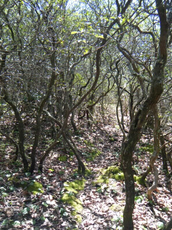
This took us to the gap we were aiming for:
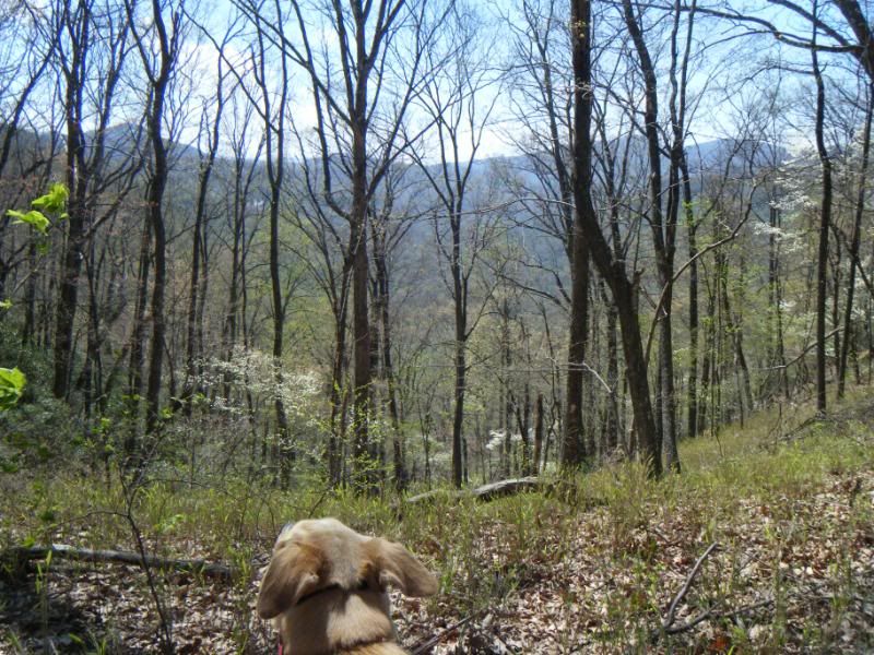
And from there we headed down the stream we initially planned to come up. It was steep but there were old road and rail cuts as I had expected:
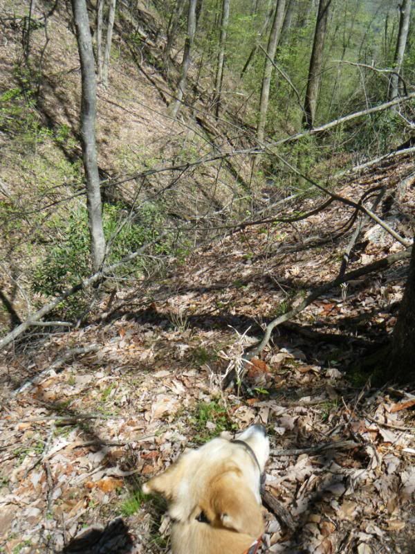
And even some signs of fairly recent human activity:
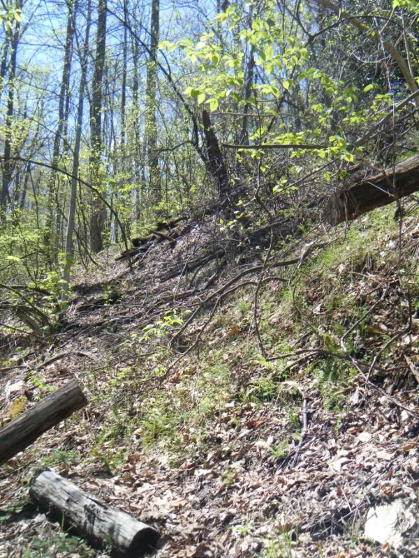
But not much in the way of waterfalls. It was very scenic and very rugged but nothing like what we had come up:

A nice little mini adventure. Perhaps the last for poor D-Man for awhile...
Today I met up with my pmbar partner Toby for a quick and easy shakedown ride. Last year Toby showed up at my house on the Friday night before pmbar and told me he hadn't ridden his bike since the pmbar the year before. Seriously. We finished ninth - that should tell you something about Toby Porter!
But this year he wanted to do a little training (please don't tell him I've been slacking!) so we went out for 25 or so miles. Dennis met us for the start, straight up Black, of course. Dennis on the technical switchback:
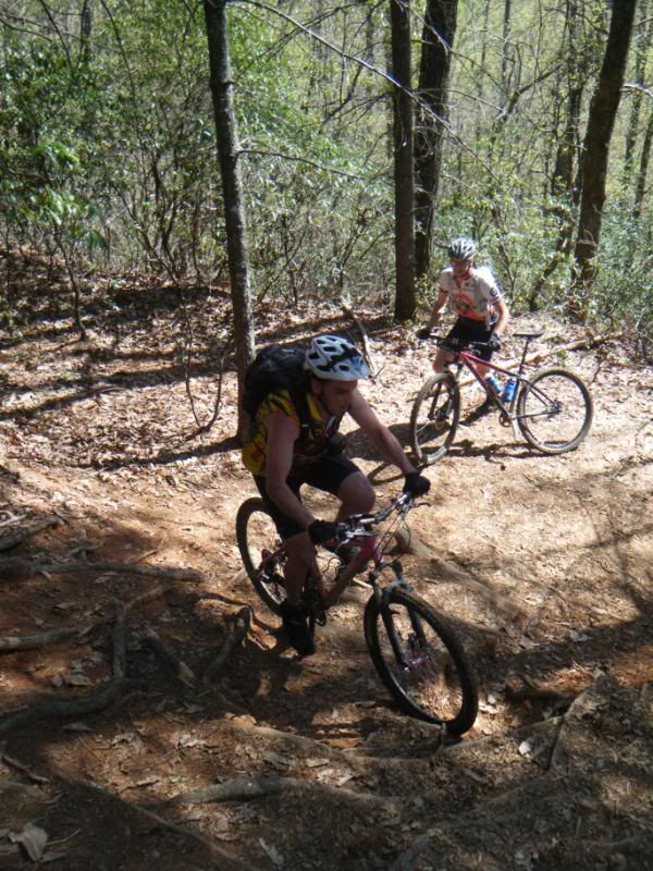
From there it was just more Pisgah. Buckhorn Gap, Club Gap and all of Black to finish with some roads and stuff in between.

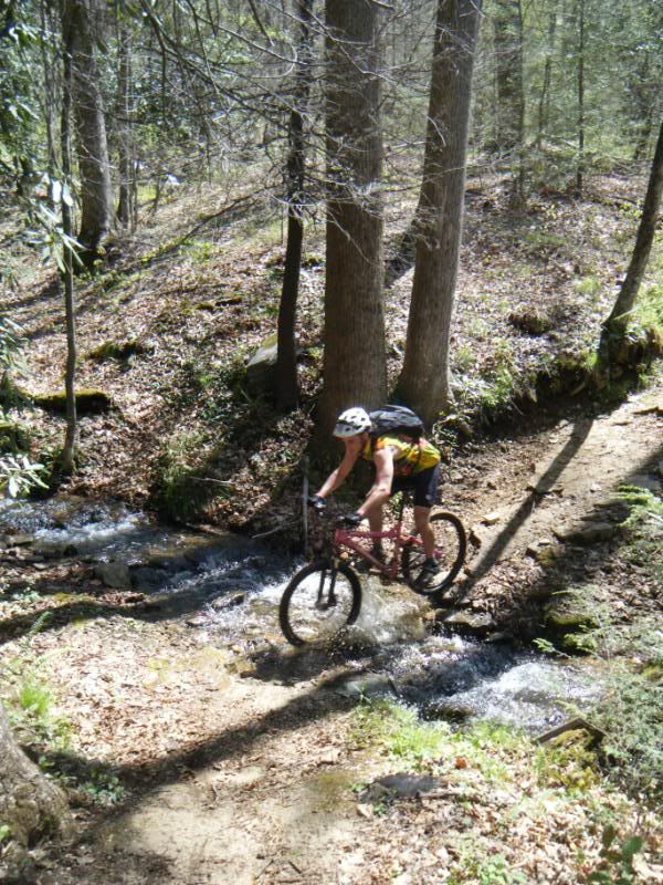
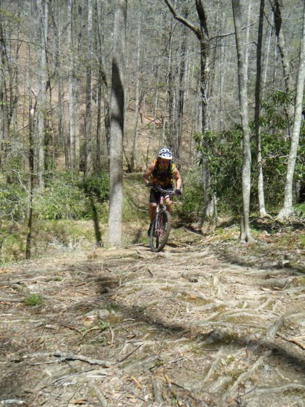
Dennis cleaning the root move on Buckhorn. Freaking gearies!
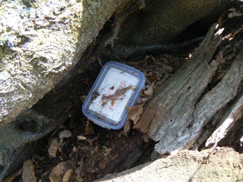
At Club Gap I asked Toby where he thought a geocache might be and then I looked around for a few seconds and saw some interesting looking roots. Goecachers like interesting stuff and sure enough there one was. The last sign date was over two years old.
From there we finished with all of Black. Why not?
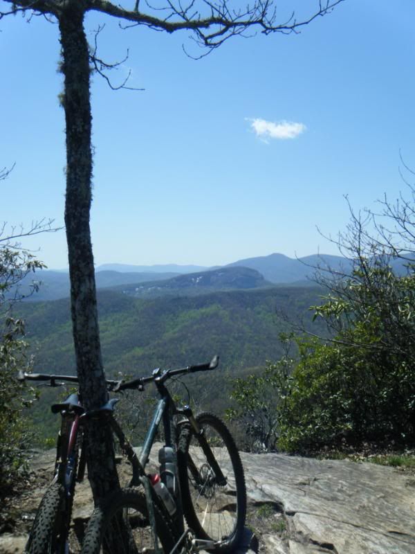
Toby at or around the geographical top of Black Mountain itself:
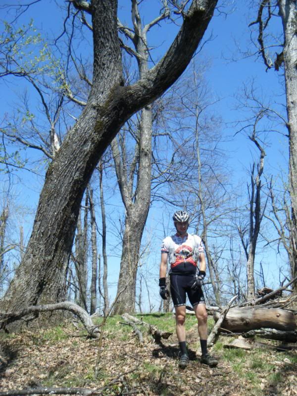
Then off to Pescado's for a little lunch:
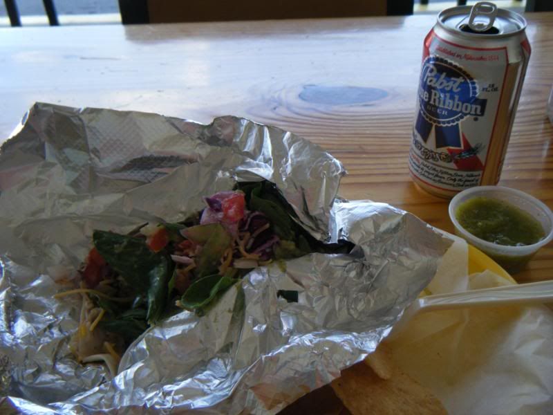
As far as pmbar goes, well Toby legitimately dropped me on the climb up 477. I'm sure we will do just fine! Thanks for making the drive up, Toby! Happy Birthday!


Many thanks to you on throwing together a ride us. As for FS477 you were probably recovering from Friday's adventure still. I'm sure it will be fine.
ReplyDeleteSorry to hear about Duma. I will be sending healing thoughts that way.
ReplyDelete