
Saturday the forecast was for rain and big Pisgah rain riding, though at times fun, is usually very uncomfortable and takes an enormous toll on equipment so instead the plan was for a hike. Zach, Dennis, Diane and I all met up at Black Balsam for what was to be a fun day in the woods. The parking lot at Black Balsam is usually full, but when we got there only two other vehicles were there. It was 40 degrees and heavy rain was blowing horizontally at us, you could see it freezing in mid air as it blew past us and I was glad I brought my rain gear with me.
Zach said he thought the best idea given the conditions was to avoid Ivestor Gap trail which was blocked from the worst of the elements by the ridge above and instead to head straight up into the heart of the furry. I agreed, naturally, so up the Art Loeb Spur we went with the idea being how many sixers we could get before we got too uncomfortable. Normally these high mountain balds offer panorama views and navigating to the top of Black Balsam and Tennent Mtn. is just a matter of walking there but we given the conditions we could not see the mountains so even though I know those trails well I did have to consult my little piece of a map a few times to make sure we were headed the right way as I didn't want to be wandering around aimlessly in the freezing cold rain. I also have this new gps thing I've been playing with and though it works I'm reluctant to trust it too much and honestly sort of like my map and compass. As we worked our way up the steep social trail that leads to the top of Black Balsam the weather just got worse and worse and could not have been anymore fun.
From there we continued on towards Tennent Mountain on the social trail. I'm assuming this was once a major trail and after a hundred of years it has eroded away and now makes for a tough bit of hiking.

Once we met back up with the Art Loeb and started the turn to the East and top of Tennent the wind really picked up and the rain was even worse and there was no need to stop for a photo shoot as we trudged past the summit.
You can't get much higher in Pisgah than Tennent Mtn. and as we started descending Graveyard Ridge (the ridge, not the trail) winter made her presence known once again and unleashed her full furry at us. The wind was very, very strong (I'd love to know just how high it was) and in the middle of the big switchback off the ridge Zach, Dianne and I all paused for a minute just to take it all in. It was reminiscent of being in a hurricane. A very cold hurricane that is. The rain was actually blowing up the mountain. We shot a lame video I won't bore you with and then went off chasing Dennis.
When we finally made it down to the intersection with Ivestor Gap trail Dennis and Diane headed back while Zach and I decided to go hit Grassy Cove Top as well. It turned out Dennis and Diane were not wearing rain pants, um, I bet they were cold!
Zach and I paused in the little pine forest before the gap which provided a little relief from the elements. The stretch down off Tennent was really crazy and we needed the quick break.
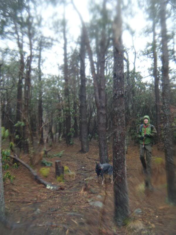
From there it was straight up to the top of Grassy Cove Top where we shot an even lamer video that I won't bore you with as well. Grassy requires taking yet more social trails and on the way down we started down the one off the West face of the mountain. This would mean that we would intersect Ivestor Gap trail and would turn left and head South back to the cars. Easy enough. Down we go, we hit the trail and turn left. After awhile Zach asks if should be concerned that we haven't made it to the gap. We check the map, then the gps, then the compass and saw that we are headed North. The gps track doesn't lie and I set a way point at the top of Grassy Cove Top and it was saying we were headed the wrong way. As I learned a few years back in the Middle Prong compasses can be reversed so I double checked it to my watch. Still North, still the wrong way. Visibility was still very low so we couldn't see the mountains around us but I could see the trail and know those trails well enough by sight to know that we were not on Ivestor or Art Loeb. We deduced that we had somehow circled the top of Grassy so we did the logical thing and turned around and headed South. And then sure enough we hit the Art Loeb just before Ivestor Gap. How we circled the top I don't know but we did.
Downhill from here:
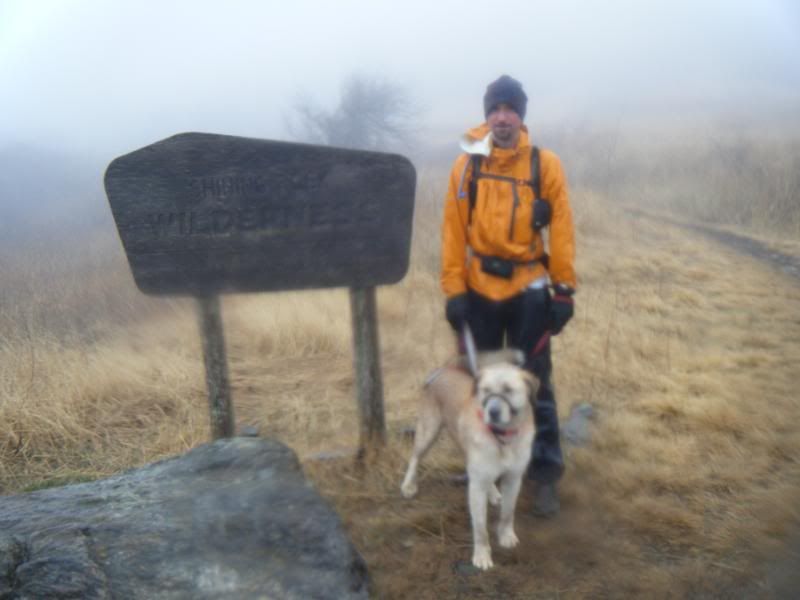
Ivestor Gap was a slog if there ever was one. The road was basically a river and after a half hour of walking down it the cold finally got to me and I was very glad when we got back to the parking lot.

Duma was a trooper as always and for a reward got to go to The Hub with us for a few pints!

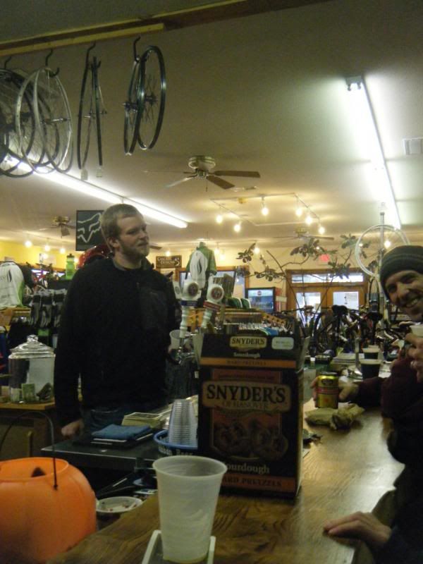


I became a card carrying member this weekend! Good stuff!
ReplyDeleteYea, Laurel was no fun Saturday. So much for the scattered forecast.