That is how the weekend ended, a fifty mile ride from, and then back to, The Hub. It started with quite the opposite type of Pisgah ride and was sandwiched with a nice fat dose of dogwalkbushwhackpaddywhackgivethemountainabone.
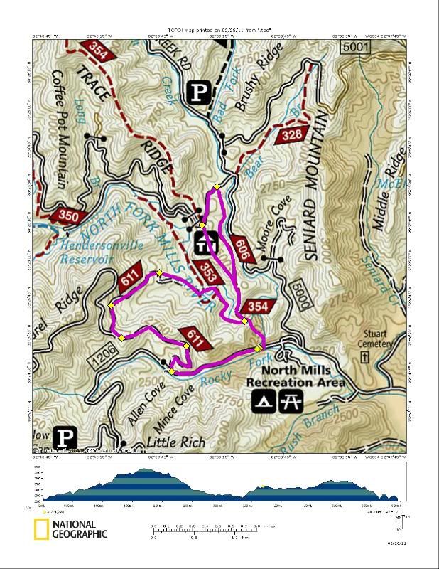
Friday's ride was as small as you can really get in Pisgah. From Fisherman's:
1206 > 5050 > Yellow Gap > North Mills River > Lower Trace Ridge > Wash Creek > 142 > Lower Trace > Fisherman's
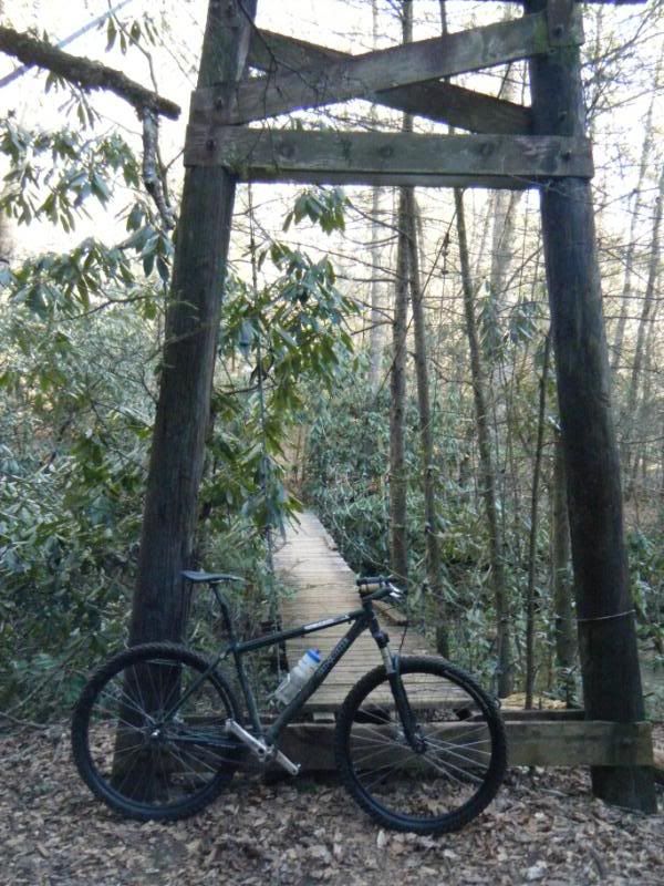
Have you ridden Yellow Gap recently? My god that trail is fun! Fast fast fast!
Of course once you get to the bottom there is a river you have to cross a few times but what is a river anyway?
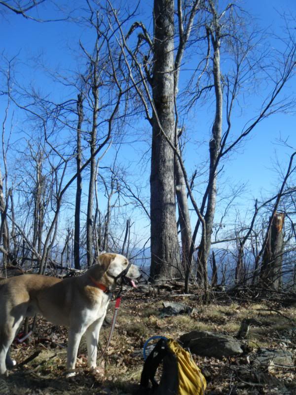
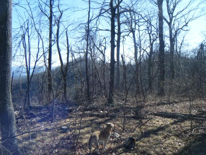
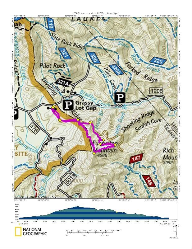
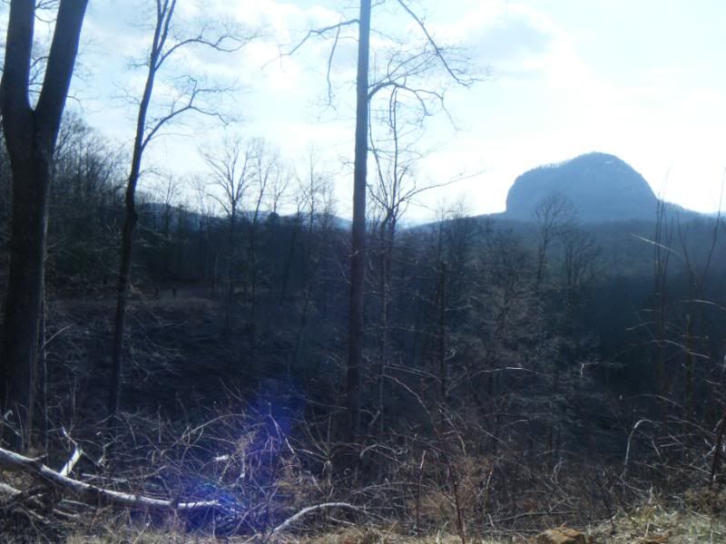
Saturday was a day for the dog. If you haven't heard Yellow Gap Rd. is now open all the way through so we loaded up in the truck and headed for the center of it - Shooting Ridge Rd. - and the top of Funneltop Mountain. We took the road up until we hit the dividing ridge and started our 600 vertical foot bushwhack to the top. I was really hoping we'd see a trail off the road but didn't and I feared that if we went all the way to the gap between Funneltop and Rich Mtns. we would find the Shooting Ridge itself to be unscaleable so we opted instead for the longer albeit easier bushwhack up the the North Ridge. It was very steep but there were lots of trees to hold onto with lots of unique to me views of Pisgah. Usually I view Funneltop from Laurel, Pilot, and Slate Rock, but here I was looking at them and even caught a glimpse of bikers on Pilot Rock.

After hanging out on the top for awhile taking in the now 360 degree views we decided to head down Shooting Ridge to try and bag the top of Rich Mtn. as well since we had made such good time. We managed to drop 200 vertical feet down the very steep and knife like ridge to just 200' above the road and gap below but were unable to go any further down. I'd estimate the grade was somewhere around 75% for those final 200' and it was heavily treed so it was probably actually descendable but it looked very intimidating and I didn't feel like taking any unnecessary risk so we retreated. Going back up the ridge didn't seem to make sense so we skirted the edge of what was basically a cliff and then followed the coutours around and down the mountain until we reached the top of the drainage for Darby Branch and then took that down to the road. We'll get Rich Mtn. soon - it isn't going anywhere!
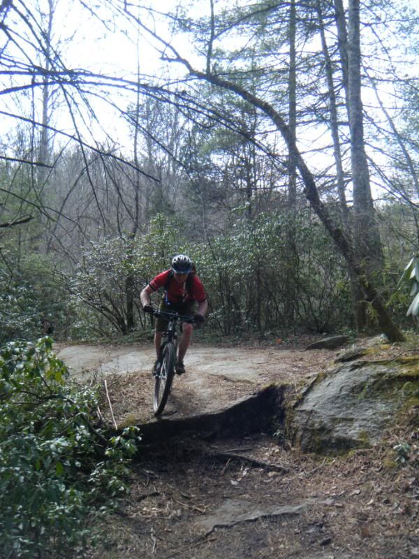
So Sunday's ride was a big one. David Cook and David George both joined us as well and with temperatures in the 70's it was hard to believe it was really February. I don't know why we felt the need to do a 40+ mile 10,000'+ ride in February but we did. Ouch!
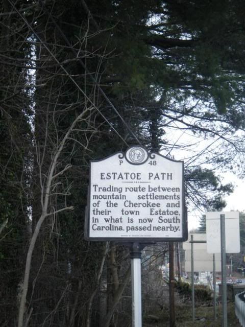
Estatoe > 276 > 477 > 276 > 475B > Log Hollow Rd. > 225 > Cove Creek > 475 > 471 > 471D > Butter Gap > Cat Gap > 475 > 475B > 276 > 477 > Club Gap > Buckwheat Knob > Bennett Gap > 477 > 276 > Estatoe



No comments:
Post a Comment