One day came yesterday and I met Yuri and Luther at the end of 140 with plans to go all the way up Courthouse Creek. Friday night I camped out at Chestnut Falls to do a little backpacking gear check and instead of hiking out down the road I crossed Chestnut Creek and bushwhacked my way to the gate on 140 as a little warm up. I'd done a little research and knew that at one time there was an official Pisgah trail that went all the way up Courthouse Creek but I didn't know how long it had been since it had been maintained and didn't know what kind of conditions we'd find. I expected to be able to roughly follow the trail with periods of all out bushwhacking. The important thing would be to make sure we followed Courthouse
Creek all the way up. If we accidentally followed another branch we would lose the trail and would bushwhack our way into a dead end and frustration.
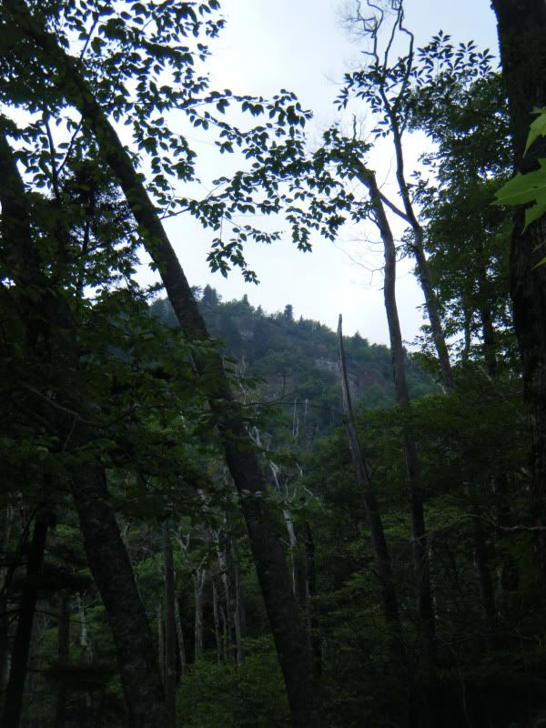
Things started out just as expected. There was an old rail grade with a faintly used trail. We came to a branch on the creek with trails going up both branches and had to decide which was Courthouse Creek. It took a group effort but I was confident we had stayed on Courthouse Creek. It was slow going as we picked our way through the Dog Hobble and fallen branches but it was beautiful we passed dozens of cascades and waterfalls as well as relics from the logging days. After passing a substantial waterfall and making another decision as to what branch was ours the trail got even fainter and navigation became more important. There was a trail and an old rail cut but staying on it proved to be difficult as it zig zagged over the creek. As we worked our way higher we could spot a large rock high on the mountain top over our left shoulders. Questions began to arise to whether it was the Devil's Courthouse. It was a big rock, that's for sure, and you don't usually view the Courthouse from the creek bed below. If it was Devil's Courthouse that meant we were off course and headed the wrong way. Luther seemed to think we had somehow gotten over to Chestnut Creek and were headed for Fetterbush. Eventually I could see a little bit of the Parkway just below the rock and after consulting my map deduced that the rock had to be on Mount Hardy and we were still headed the right way.
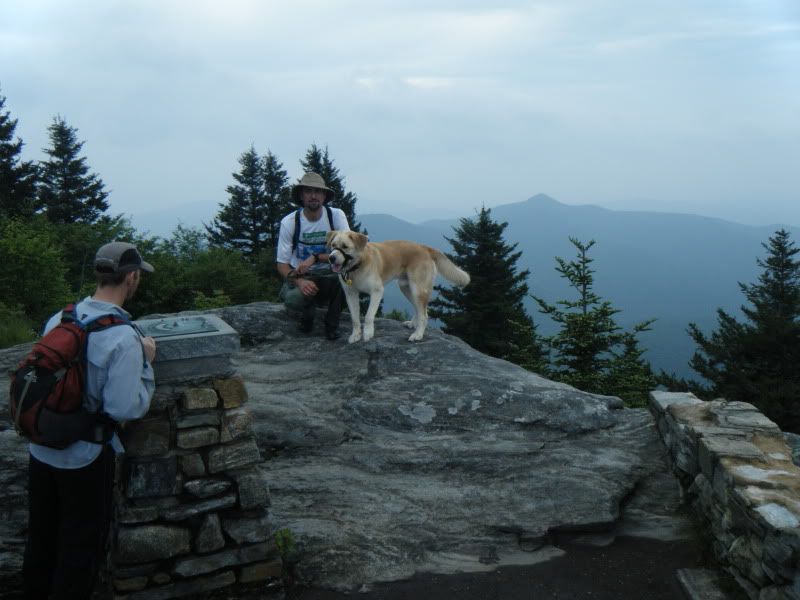
The higher we got the fainter the trail and the fainter the creek. Eventually both just faded away but yet we were still roughly following an old rail grade and even kept encountering old trestles. The area reminded me very much of the Middle Prong Wilderness except it was wilder. We repeatedly kept losing and then finding the trail again. It was slow going but we were making forward progress and having a good time as well. We made our way to the base of a rock and tried to get up close to it to poke around and see if there was a cave when we heard voices. I slowly backtracked out and then we popped right up into the Devil's Courthouse Overlook on the parkway. Perfect!
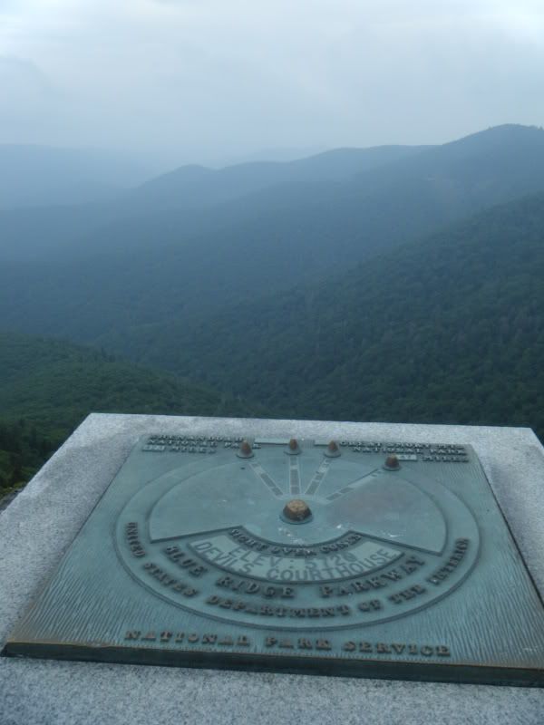
I'd never been to the top of Devil's Courthouse before so we went up and looked around for a minute before heading down to the Mountains to Sea. From there we picked up the Art Loeb and headed down Shuck Ridge. After several Double Dares it felt weird not carrying a bicycle on that stretch of trail! From there it was just down and more down. A very successful trip!
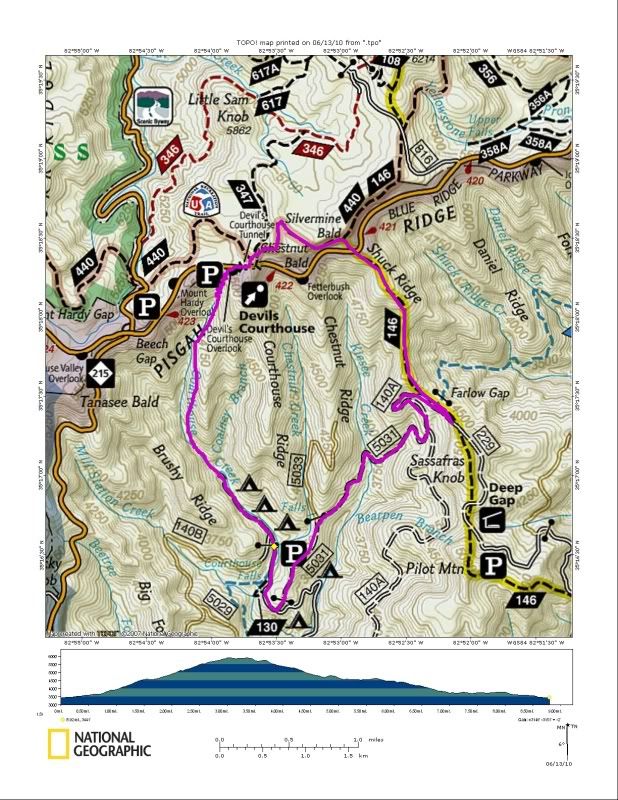
Our route looked like this:
Pictures:


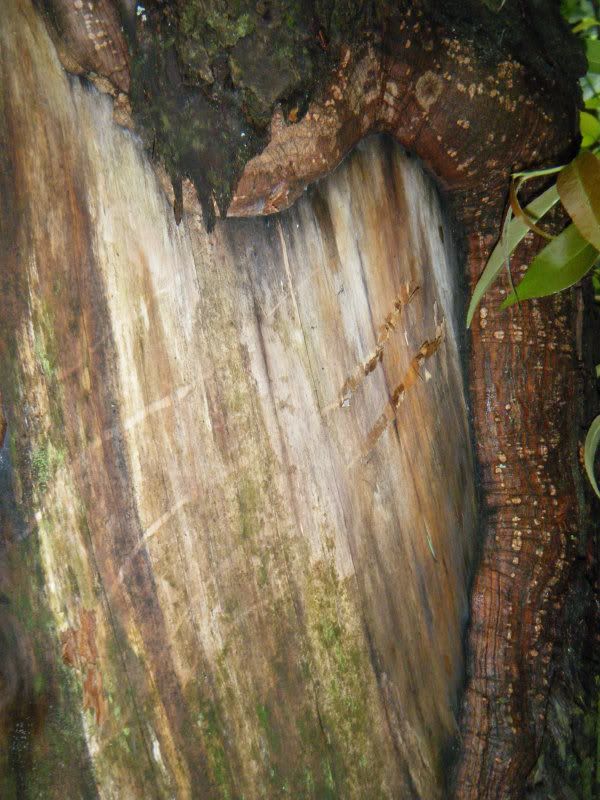


That was one of the best things I'd done in the woods in awhile and sort of gave me the Pisgah bug so today I slept in and then went out for a nice little afternoon Pisgah loop. Starting from the very bottom of 477 my route was:
477 > 276 > 475B > Case Camp (HIKE) > BRP > Black Balsam Rd. > Flat Laurel Creek > 215 > 140 > 140A > Farlow Gap > Daniel Ridge > 475 > Davidson River > 475 > 276
45 miles and 11,000' climbing. If my calculations are correct there were only two climbs, a long one and then a painful one. It was a no stop signs sort of solo ride and I didn't stop until Shuck Ridge Creek when I had to get water. Farlow was as sweet as ever but I paid for it on the long walk up 140A!
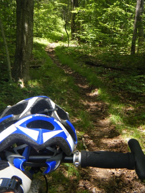
Mandatory Hike up Case Camp:
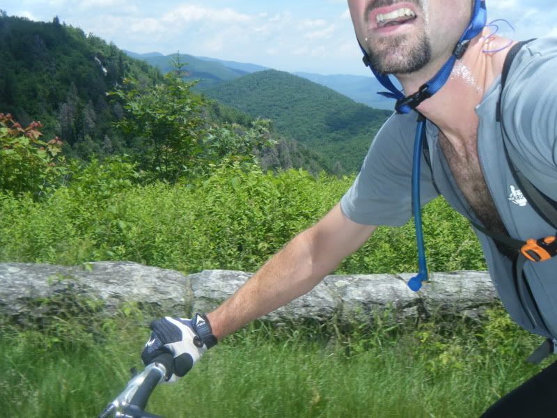
Parkway:
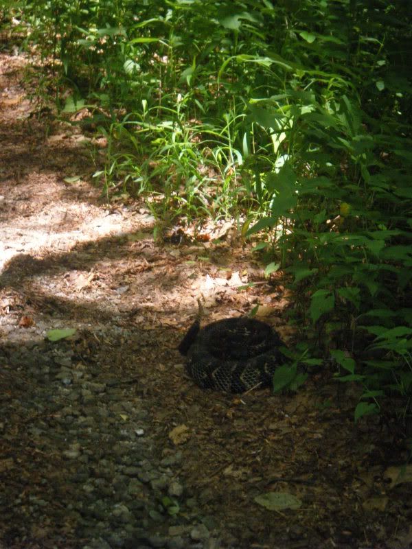
This guy was hanging out on 140A:
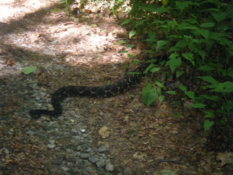
I leaned in for a closer shot and he jumped into a coil. That was enough to get me to back off!


Awesome! I've been wondering about whether that trail still existed ever since last fall when I noticed it on the old 1940s TVA topo map. Nice work! although I thought it looked too fall-line to be an old rail grade though. Very interesting.
ReplyDeleteIt is rail grade all the way up. No question about it. Amazing they got a rail up that far!
ReplyDeleteThe old logging history books say the original railroad was stopped by Courthouse falls. They split the line at Kiessee Creek (where the roadside camp is now) went up Kiesse for a bit and then wrapped around Chestnut Ridge to get up Chestnut Creek to the base of Devil's Courthouse. Check this scan of an old map drawn from memory by an old-timer. You really have me curious now, I was planning to go up Chestnut Creek looking for that RR grade. Maybe the Courthouse RR grade is from later?
ReplyDeletehttp://www.appalachian.com/bike/rrtrans2.png
Recognize this waterfall?
ReplyDeletehttp://www.ncgenweb.us/transylvania/home_html/images/Glousester%20Lumber%20Co%20train.jpg
Gloucester Lumber owned the logging rights up Courthouse Creek. This waterfall looks a bit like one of the pictures in your post.
Good for you guys! I got interested in that old line on the old topo, too. Went about 2/3's way up last year. I met two great bikers last year as I was coming down Brushy Ridge - guess everyone knows you can do that too. Keep it up.
ReplyDelete