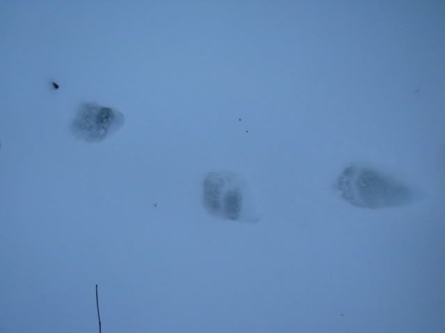
Christmas Eve I met Broussard at the Green River Game Lands and we did a nice little loop. I was surprised when there were no other human tracks on the trails. I would have thought somebody would have gotten out there. Though no people there were plenty of animal tracks including quite a few bears:
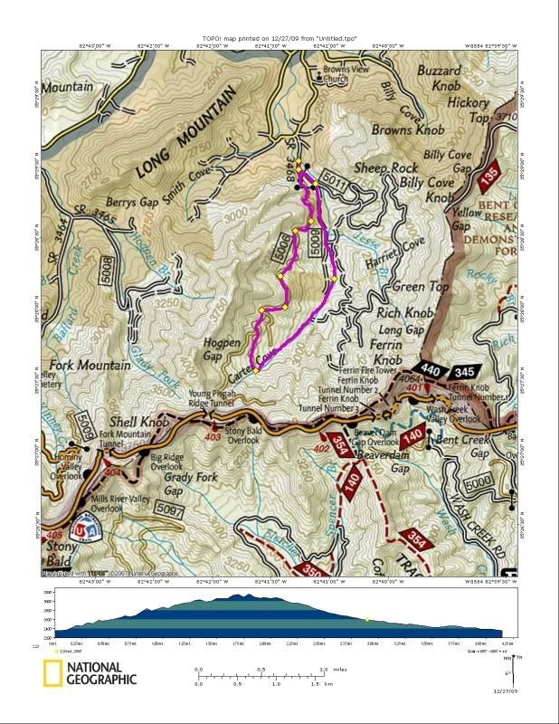
It was a nice walk and just what I needed before the holiday celebrations. But by mid afternoon on Christmas Day I was getting stir crazy and Terri told me to go take my dog for a hike so I did. We went to an isolated corner of the Pisgah Ranger District off of 151:
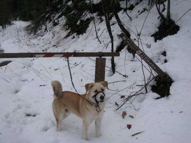
It was good to be out in the woods and Duma had fun playing in the snow:
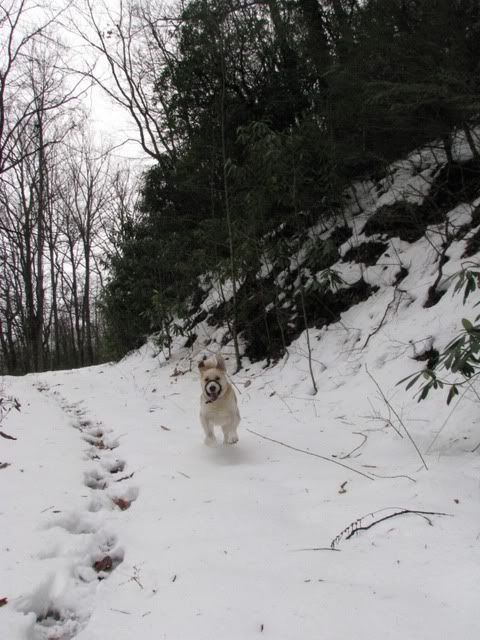
Unlike the Green River Game Lands there were another set of human tracks on the old road bed. I noticed there were only one set and since the old road we were on was a dead end I couldn't help but wonder where the other person had gone. The idea of a loop intrigued me so when the tracks veered off the road down a dead end spur I had to follow them. I had told my family I would only be gone a few hours which had passed and there I was headed off the trail towards the unknown.
The snow got very deep as we worked our way down to the upper reaches of Beaverdam Creek. It was over knee deep and we were moving slowly through a tight thicket wee crossed the creek many times and though I knew we were bound to hit 5005 eventually I had to wonder who we were following and why they had gone for such a fun walk. After crossing the creek more times than I can remember we were spit out at this weird hunting camp:
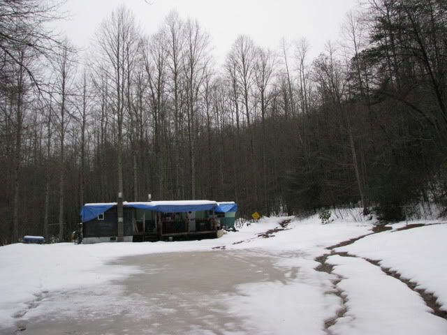
I hoped the person I was following hadn't been heading for this camp and made my way out of there without lingering to take many pictures. It was freaky and I'm sure whoever owns it has a ball out there!
That little adventure sparked my taste for bigger adventure so today me and Duma headed for one of the most remote and isolated corners of the Pisgah District:

The Dismal Falls area has always intrigued me and I figured today was the day to check it out. There are at least five waterfalls in the drainage but with no maps of the 'trails' I knew finding all five would be an adventure for sure. First challenge was finding where to start:
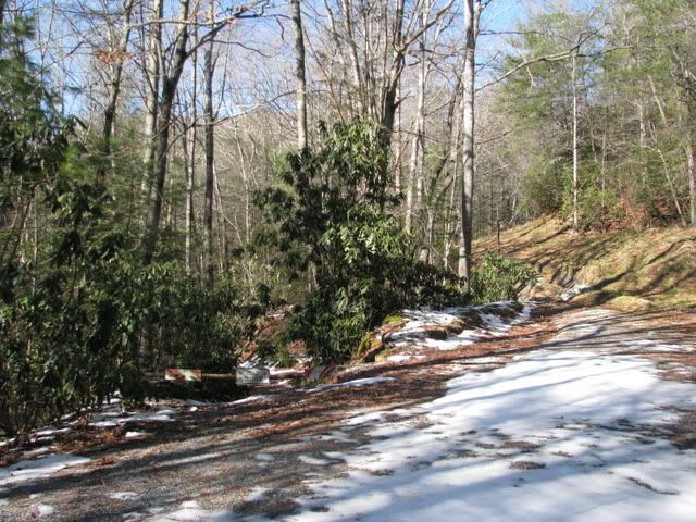
Though the map doesn't show them there are trails in the area but they are confusing and hard to follow at times. I passed by the creek where the first waterfall was supposed to be but didn't realize my error until we were much further up the trail so I decided to hit it on the return trip. I found the first unnamed waterfall without a problem:

Then I headed on up to what I thought was Rhapsodie Falls:
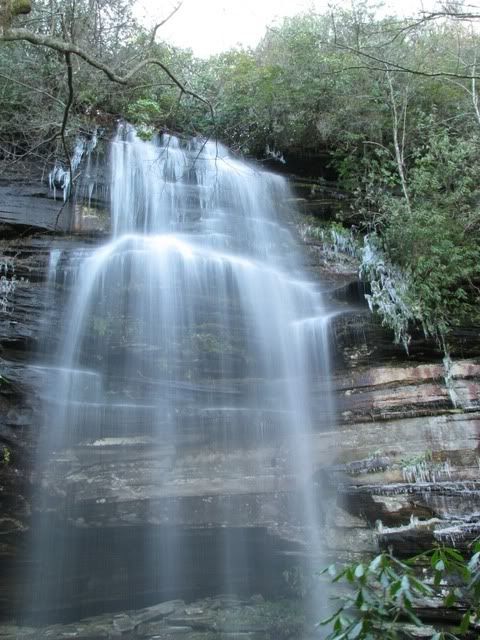
After that it was on up the ridge towards Dismal Falls. The trail was very steep and covered in frozen snow which made for slow going. At the top of the ridge I found the trail that headed down to the falls. This is the steepest 'trail' I have ever been on and with the mud, snow and ice it was like a giant slip and slide. I had to sort of try and swing and slide my way down. Near the bottom we got to some rocks that Duma couldn't cross so I left him and ran ahead to get the picture. Dismal Falls:
The return up the ridge was just as hard as it had been going down. The trip down the ridge came fast as I just slid down the snow covered slope. We made the sharp turn down to the creek and another unnamed falls. This was another crazy steep scramble down to the creek and then a short hike upstream towards the falls. We were down in a gorge which was lined with a giant rock face. It was covered in ice and treacherous:
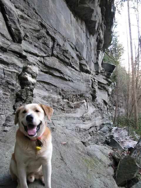
Once again Duma reached an impassable point and I ran ahead to get the shot:

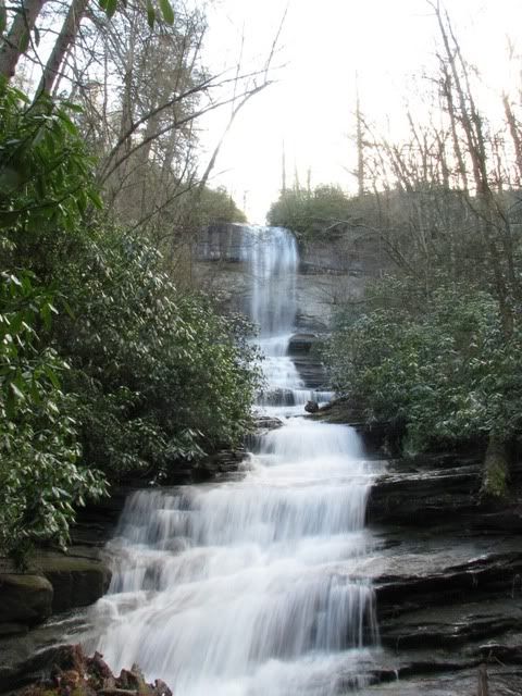
On the trip back to the truck I went over my notes and realized I had missed a turn and what I thought was Rhapsodie might not have been. So, I altered our course and went for Rhapsodie again. It was a hard uphill push to get to it but I did. Rhapsodie Falls:
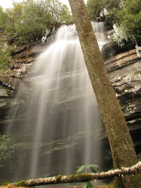
As you can see they are the same waterfall but from two totally different vantage points. I recommend viewing this one from the left bank. With that out of the way there was only one to go which I found without problem. Aunt Sally's Falls:
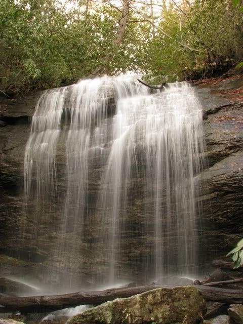
There is a lot of water in the woods right now which makes for great waterfall viewing but also means to get a good shot you are going to get which which I did. This is not a dry feet hike and also not one to be taken lightly. The terrain is tough and if you get hurt it could be awhile before somebody finds you.


Sweet pictures!
ReplyDeleteScott is out there somewhere this week.