Friday, July 31, 2009
AA
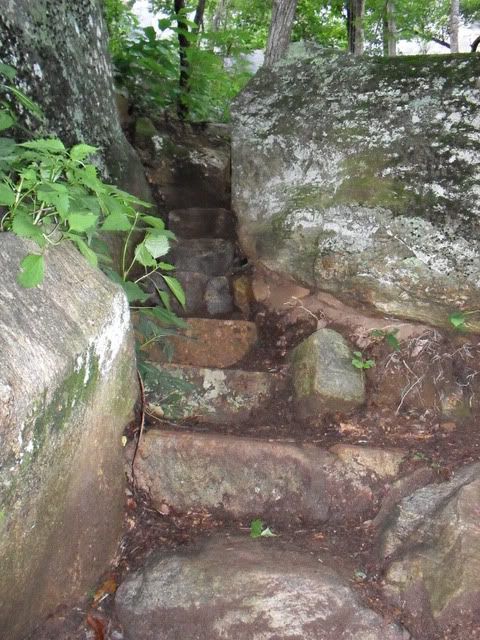
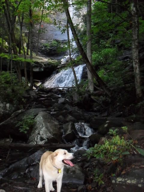
After that it was off to Jone’s Gap to meet Jonathon and the dogs for a walk instead of the Wednesday Night Drinking Club. We did Rainbow Falls and it was swell. There is some impressive trail work along the way:
Duma had fun and after a quick stop at the falls we went on up the trail to the point where it got too technical for the D-Man.
Tuesday, July 28, 2009
Twelve Mile Ride
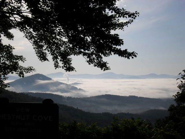
Leaving Asheville early in the morning there was a thick fog but by the time we had gone just a mile or two up the Parkway we were above the clouds and headed for Sleepy Gap:
Sleepy Gap is a good example of when the map is wrong. But it was Bent Creek so navigation was not a concern. After I was on Explorer for awhile I realized the map was also wrong for that trail as well. Oh, well eventually I took a left onto an unsigned trail that looked rather new. After a short walk up the trail we hit South Ridge Rd. again and a sign indicated we had been on Chestnut Cove.
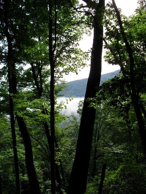
On the short climb back up to the parkway I was reminded of the fog down below:
Sleepy Gap > Explorer Loop > Chestnut Cove > South Ridge Rd. > Sleepy Gap
After dropping the dog off at home it was time for me to go ride my bike so I headed for the best place to start any mountain bike ride: The Black Mountain Trail
My route was simple.
Black Mtn. > Avery Creek > 477 > 276
Just 12 miles. Over three hours. Terri can run that far in under two hours…. damn mountains…
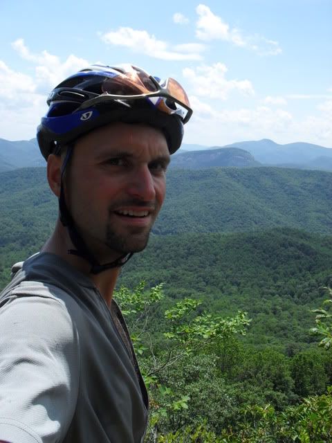
I stopped at the second overlook for the classic Top of Black photo shoot:
A hiker just in front of me came very close to stepping on this guy. He was very pissed and rattling up a storm:
It has been awhile since I’ve been down Avery Creek and can’t figure out why. It is a sweet downhill. Rather technical and not a climb in sight….
Friday, July 24, 2009
feliz cumpleanos
Fawn Lake Loop > Laurel Ridge > Corn Mill Shoals > Bridal Veil Falls Rd. > Conservation Rd. > Joanna Rd. > Twin Oaks > Briery Fork > Joanna > Grassy Meadow > Joanna > Pinnacle Mtn. Rd. > Turkey Knob > Reasonover Creek
I dipped out of work a little early and took the dog for a walk. Somebody stole the S off of Squirrel.
Wednesday, July 22, 2009
Again and Again
[all photos except two in this post are credited to zach. see if you can figure out which two I took]
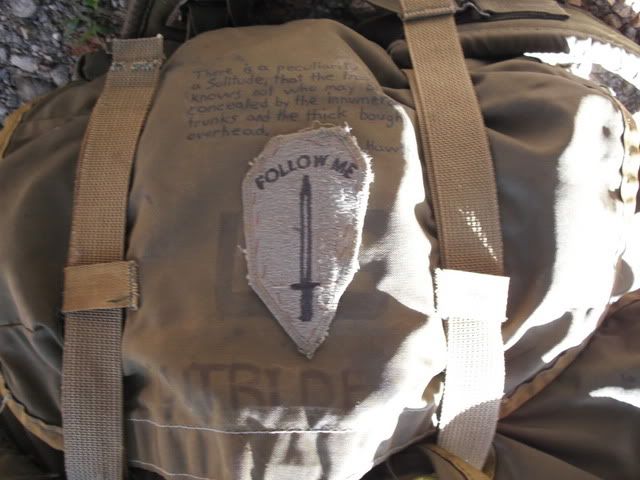
Once at Sunburst we started up the Green Mountain trail with me and Duma in the lead even though Zach’s pack said ‘follow me’:
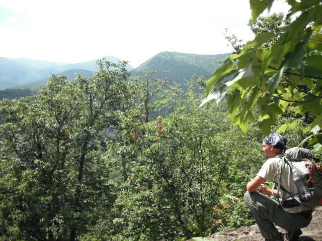
Green Mountain started with a serious steep climb that quite simply did not let up. I had mapped out our route on my snazzy new mapping software and knew what to expect but Zach had declined a peak at the profile. No biggie, Green was a lot of fun and we chatted our way up the mountain pausing only to soak up the views:
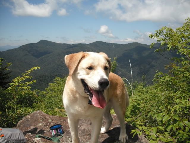
Even the D-Man was digging the scenery:
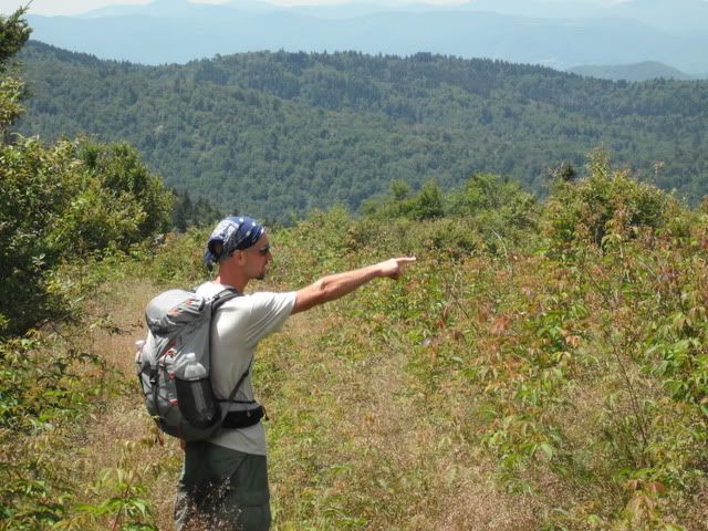
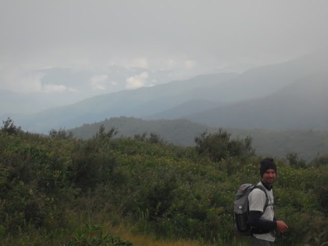
It was fun seeing a new side of Pisgah and we both tried to pick out the various peaks and ridges. Here I am authoritativly pointing the way we were not going:
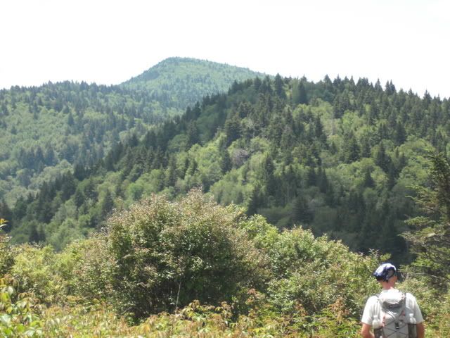
Once on top of Green Knob we were treated with a little downhill and then a short climb up another knob before dropping once again. From there our plan was to bushwhack our way to the top of Mount Hardy. Mount Hardy is the last peak in this shot:
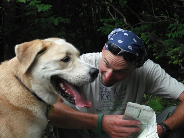
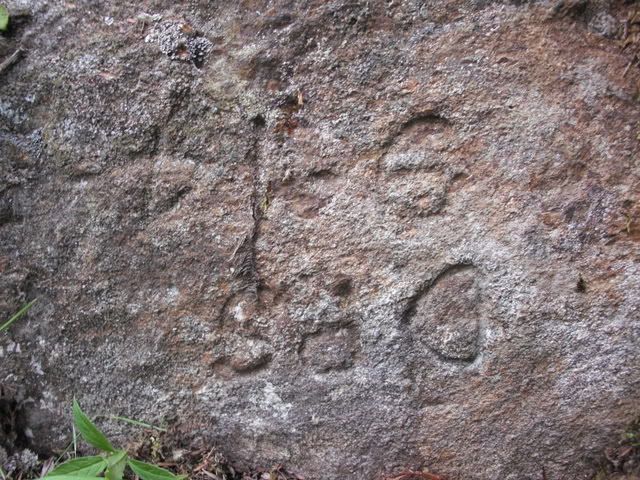
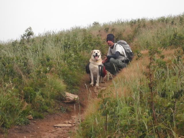
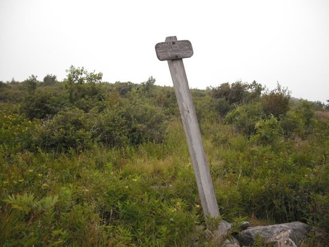
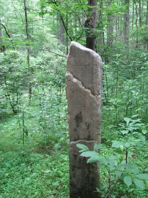
I had a feeling that there would be a social trail up to the 6000′+ peak and indeed there was. The briars were so thick I don’t think we would have made it otherwise. Here I am at the top trying to make sense of the weird petroglyphs while Duma smiles on:
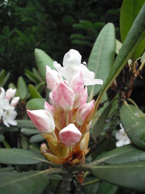
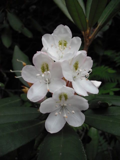
After our Mt. Hardy detour it was on to the Mountains to Sea which meandered way too much and took way to long. The trail was nearly flat but littered in rocks and roots and it was slow going at best. There were plenty of pretty flowers along the way but they weren’t enough to make the slog much fun:
I had been planning on continuing on the Mountains to Sea after crossing 215 and then picking up Little Sam but I knew that it was going to be more of the same and happily agreed when Zach suggested taking Flat Laurel all the way. By this time we had already covered ten miles with a shitload of climbing and were both looking forward to camping along Flat Laurel where I knew there were several good campsites. As we made our way up the trail I was a little dismayed to find all of the good sites taken and after a little poking around we settled into a little site that was a little ways up a branch. I had wanted to do Sam Knob “real fast” after getting camp set up but Duma was done for the day so I used that as an excuse to just lounge around camp playing with the fire and sipping on whiskey.
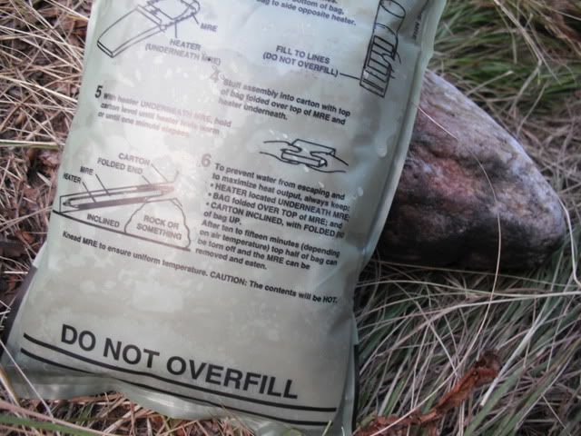
Zach had gone the no stove route and brought a MRE instead. Note how he has it propped on a rock or something just as the packaging indicates:
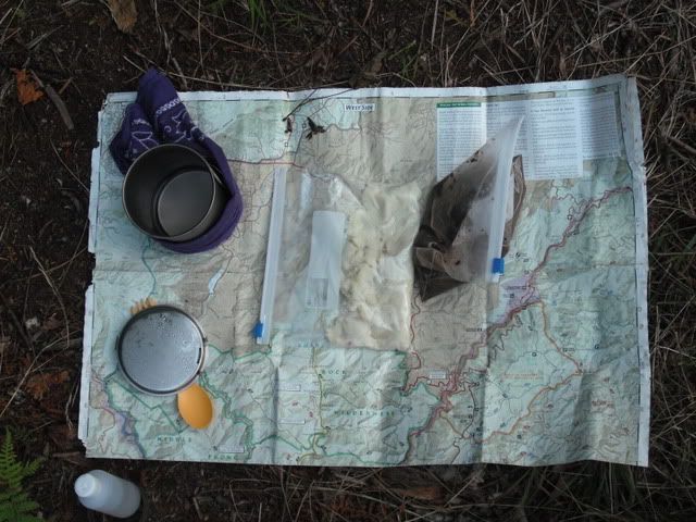
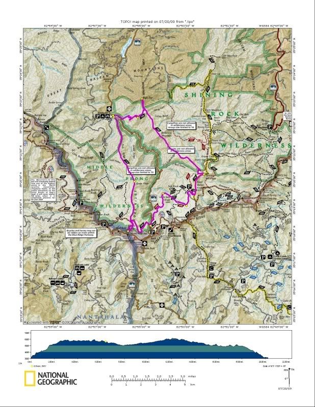
I had my alcohol stove and had repacked some dehydrated potatoes and black beans. There are many uses for a National Geographic map of which a table cloth is one of the best:
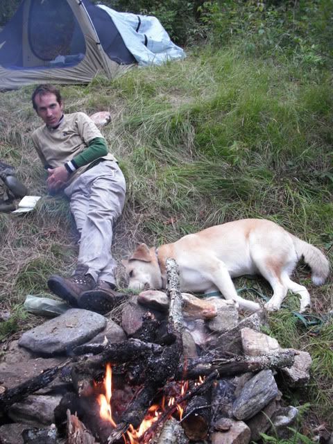
After dinner it was a whole lot of nothing:
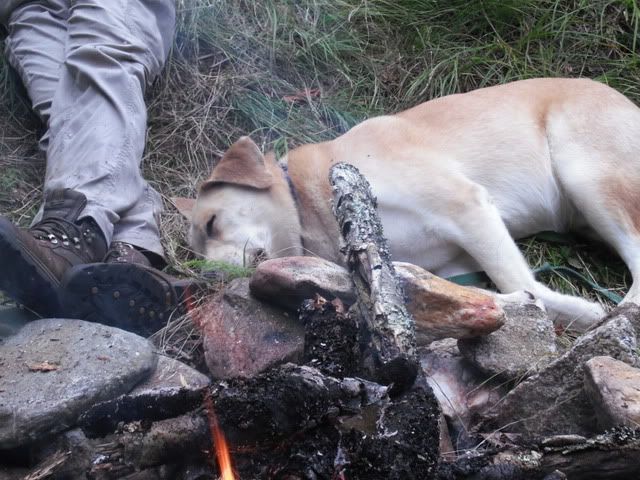
Did I mention Duma was done? How about I zoom in a little:
The weather was great but at 3:30 am I woke up freezing. I guess my ultralight bag isn’t quite as warm as the rating says. I put on my rain gear and another pair of socks and got a little more rest but my feet were cold all night.
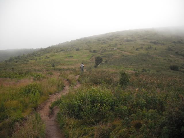
I woke at seven feeling refreshed and my pack felt light so I suggested we reconsider and head up the Art Loeb and go over Black Balsam Knob and Tennet Mountain and knock off a couple of 6000′ers before breakfast. Though he said he though it was a mistake Zach agreed and up the spur we went:
The top of the balds were cold, foggy and wind swept. Several people were camped up there which didn’t look like much fun to me given the conditions. Along the way we got off the Art Loeb and ended up going down one of the worst erosion gullies on the way to Tennent:
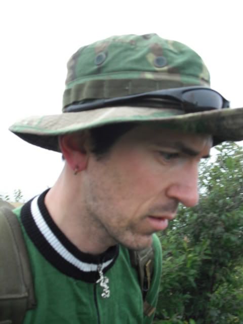
Zach hasn’t done a lot of hiking recently and never carries a pack and his knees were bothering him and I was worried he wasn’t having fun. Self portrait:
Once at the gap he said we should bail on Tennent and I obliged. On the way down to Fork Mountain trail:
We found a trail on the right ridge and after cooking breakfast headed down the Fork Mountain trail. This stretch of trail was simply insane. Downhill and steep. Very overgrown with briars and blueberries growing five feet high. The only thing above the overgrowth and everywhere you looked there were killer views as the trail was descending a knife edge ridge line. Comparable to the Narrows on the Art Loeb. It was slow going but kicked some major ass.
We made the first gap where an old rail grade came in from the north and continued right. Zach thought perhaps we had missed the start to the official trail and were on something else but I simply do not know. The rail grade was a nice change of pace and I stumbled across some ripe blueberries which provided only a few needed calories. But nothing lasts and the trail left the rail grade and made its way up and down many knobs on the way to Birdstand Mountain. Fork Mountain is a six mile trail that feels like twenty miles. It just goes on and on and up and up and up. We were both pretty beat down by this point and just wanted it to end. The views and scenery kicked ass the whole way but I’m not surprised Zach quit taking pictures. I would have as well.
Fork Mountain was the final wilderness trail in the Pisgah District for me to walk so I had a good idea what to expect and it didn’t disappoint. The trail went from being easy to follow and gentle to hard to find and gnarly at a whim and to make matters worse the map’s placement of it was wrong by a quarter of an inch. All we could do was keep on keeping on so that is what we did. We crossed a seemingly impossible number of gaps and knobs as the trail disappeared and then reappeared but after a few hours we hit yet another old rail grade which led us the the sharp left turn that would take us back down to Sunburst. Since we were on a nice rail grade and since Zach was moving a little slower I decided to push on up to High Top with Duma.
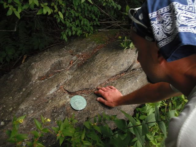
While Zach made his way down to the truck me and Duma ran up to the top. The nice double track quickly took a right turn down to Daniel Boone and we were faced with yet more of the same technical steep singletrack that we had spent hours crossing on Fork Mountain. After fifteen minutes of climbing we reached High Top. The sight of an old fire tower where all that remains are the footings, a few boards and some broken glass. There was also a USGS marker, some weather equipment, a goecache and some kick ass views of Pisgah. I could see everywhere we had been: Green Knob, Mt. Hardy, Black Balsam, Birdstand Mtn. and all the other knobs and ridges. No camera but it didn’t matter. No snap shot can capture such a feeling. A real high top for sure.
And just like that we were running back down the trail to catch up to Zach. Duma was not impressed with me leaving a member of the pack and even though I was moving very fast he was really pushing me to go faster. I tripped and dropped his leash and he took off to catch Zach. Pinche Perro!!! I eventually caught up with both of them and we made our way on down the mountain. Duma wasn’t willing to let us get separated again and he is a hard dog to argue with so we kept going down together.
After descending 2000 vertical feet the trail abruptly ended at the river where there was a swimming hole full of the finest local wildlife. I took one look at the scene, decided I didn’t want to stick around and rock hopped my way across and back to the truck.
And just like that it was over.
Monday, July 20, 2009
There and Back Again
Green Mountain > Mount Hardy > Mountains to Sea > Hwy 215 > Flat Laurel Creek (campsite) > Ivestor Gap > Art Loeb Spur > Art Loeb > ??? > Ivestor Gap > Fork Mountain > High Top > Fork Mountain
More words and pictures to come later.
Thursday, July 16, 2009
The Contrarian
Fawn lake Loop > Mine Mtn. > Laurel Ridge > Shoals > Corn Mill Shoals > Burnt Mtn. > Corn Mill Shoals > Longside > Twixt > Rock Quarry Rd. > Buckhorn Creek Rd. > Cannon Creek > Rich Mtn. Rd. > ??? > Rock Quarry Rd. > Buck Ridge Rd. > Micijah > Wilkie > Corn Mill Shoals > Shoals > Laurel Ridge > Mine Mtn.
I missed the line crossing Little River and didn’t make it. So I went back and did it again and again. I crashed climbing the steep side of Burnt and then again on Wilkie. Good times as always!
Sunday, July 12, 2009
Mountains to Climb
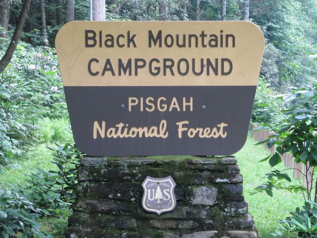
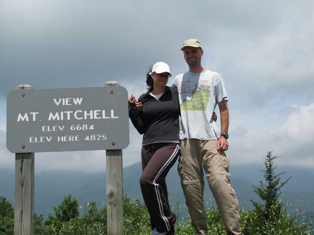
Saturday morning I had wanted to join Woody for the Dupont workday but by the time I took care of all the minor life details that I had been putting off there wasn’t enough time so I went out for an epic ten mile road ride instead. Then it was off to pick Terri up for a night of camping. She hadn’t been camping since she was a kid so it was a real treat for both of us. We went to the Black Mountain Campground near Mt. Mitchell and had a good time. Duma tried his best to spoil our fun by acting up all day and night but in the end it was a successful trip. I had smores for the first time in my life!
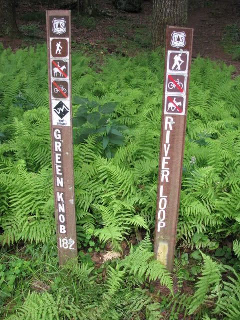
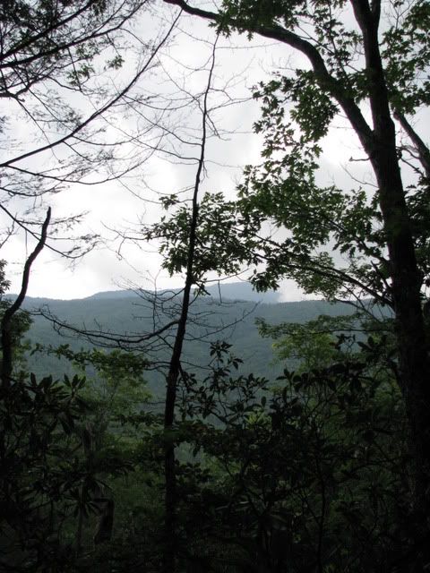
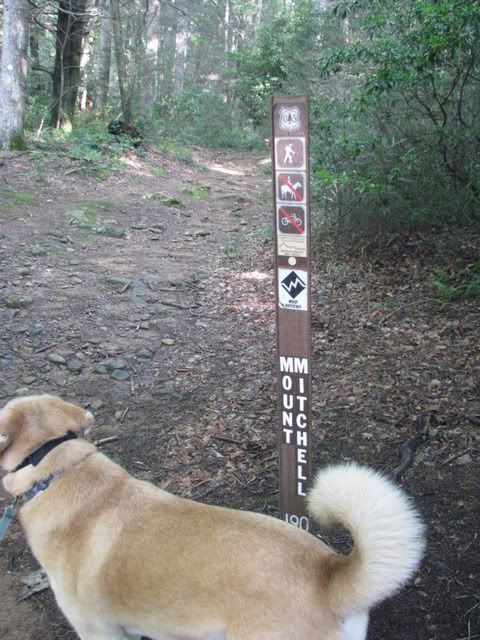
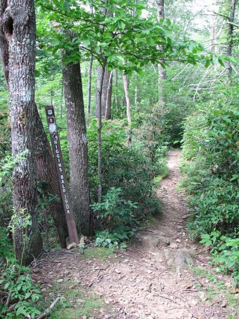
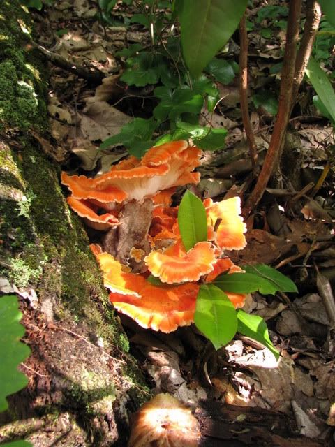
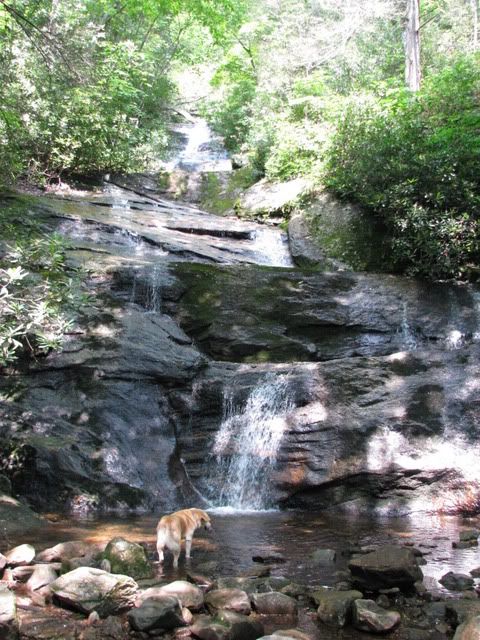
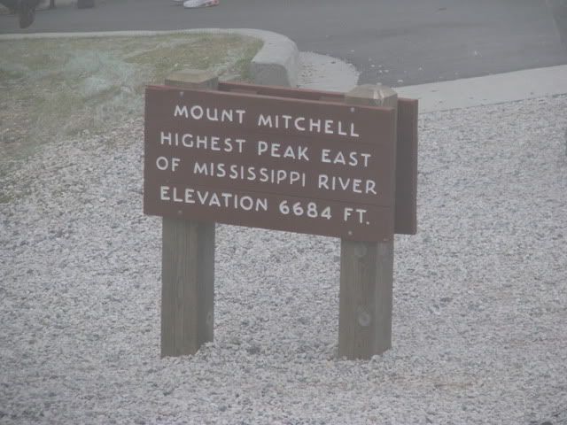
I went for two short walks while up there. Saturday I headed up the Green Knob trail and gathered some firewood. Sunday morning I went up the Mt. Mitchell trail to the intersection with Higgins Bald and then after I got back down to the campground checked out the waterfall on Setrock Creek Trail. Lots of good stuff up in that area and I can’t wait to get back and explore it some more. The mountains had a different look and feel from the Pisgah district. Not a whole lot of good day hike loop options but lots of out and backs and some potentially very good shuttle hikes. Who wants to shuttle Green Knob > Mt. Mitchell with me? We can take a few of Highland’s seasonal wheat beers with us and enjoy them at Cattail peak!
Friday, July 10, 2009
WNDC
I had played my park at Lake Imaging game in an attempt to get home early so after that it was just me asking Jonathon to tell me the most direct route and then me following him all over the forest. Carlos was there for his first taste of the drinking club and when we finally pulled up to my sag vehicle at Lake Imaging he was happy to have a beer. That a boy! But will he be back again???
My route was:
Lake Imaging Rd. > Jim Branch > Issac Heath > Locust > Hilltop Loop > Lake Imaging > Buck Forest > Sheep Mtn. > Pine Tree > Longside > Corn Mill Shoals > Shoals > Laurel Ridge > Cart > Mine Mtn. > Fawn Lake
Reasonover > Turkey Knob > Poplar Hill Loop > Turkey Knob > Pinnacle Mtn. Rd. > Joanna rd. > Grassy Meadow > Joanna > Grassy Creek > Sandy Trail > Tarklin Branch Rd. > Sky Valley > Rocky Ridge > Giuon Trail > Hickory Mtn. Rd. > Ridgeline
Yes, I ended on Ridgeline. Knowing my distaste for Ridgeline everyone was willing to take an alternate route but I decided I might as well ride it. Thanks guys!
Wednesday, July 8, 2009
Got Tubes?
Corn Mill > Big Rock > Cedar Rock > Little River > Cedar Rock > Big Rock > Corn Mill > Longside > Pine Tree > Cascade Lake Rd. > Rock Quarry Rd. > Micijah Trail > Wilkie Trail
On Micijah my hunch that I was running too low of pressure in my front tire proved true and I got my fourth flat of the day. Four flats, all patched, no new tubes used!
Monday, July 6, 2009
The Rockets’ Red Glare
Friday:
Morning road ride in Asheville with Terri. Nice!
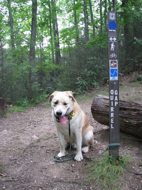
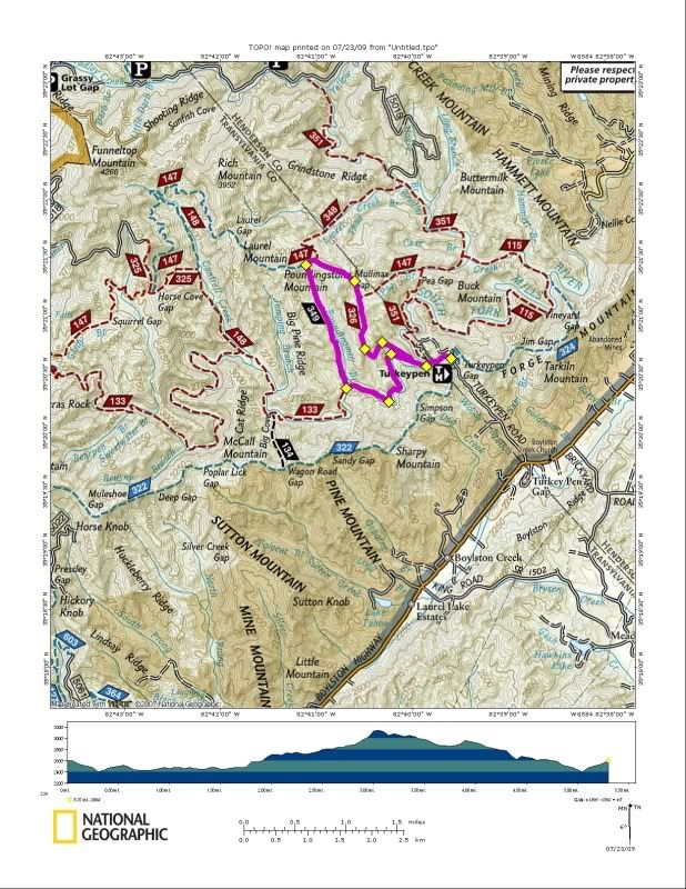
Afternoon Dog Walk: From Turkey Pen:
South Mills River > ??? > South Mills River > Pounding Mill > ??? > Mullinax > South Mills River
Saturday:
Mountain Bike Ride starting from the Fish Hatchery:
Horse Cove Rd > Bushwhack > Joel Branch Rd > Mine Branch > ??? > Joel Branch Rd > ??? > Mine Branch > Joel Branch > 276 > 475
Can you follow that route? Good, I’m not sure I can either! An adventure for sure!
Saturday Night:
Terri and myself headed up to the top of Laurel Mountain Trail near the parkway to watch the fireworks. We saw no fewer than five major displays. Hendersonville, Brevard, Biltmore and I’m not sure what else. Very Nice.
Sunday:
Dog Walk:
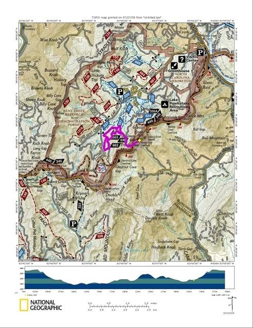
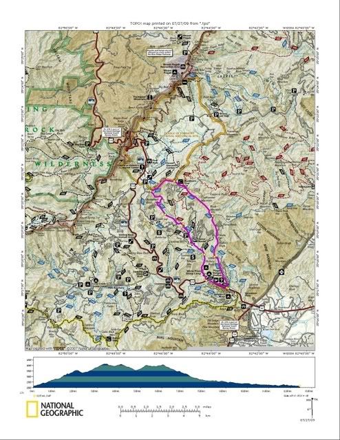
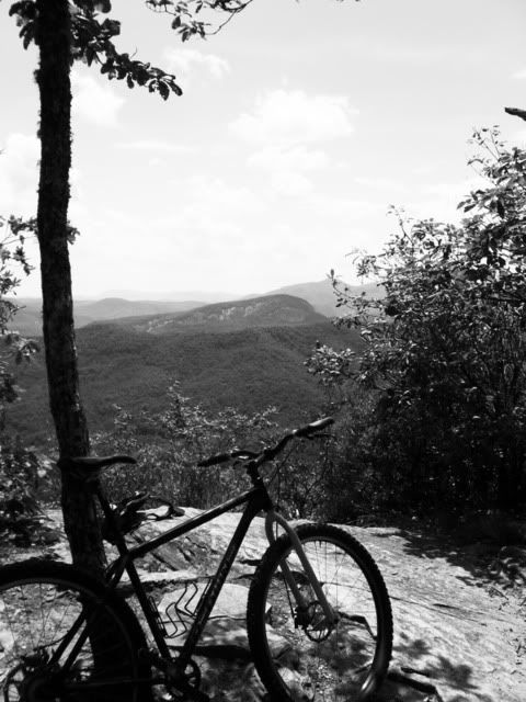
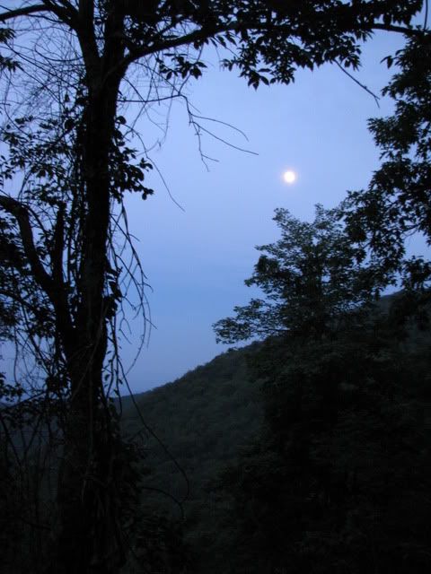
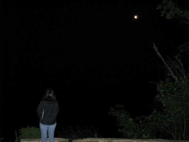
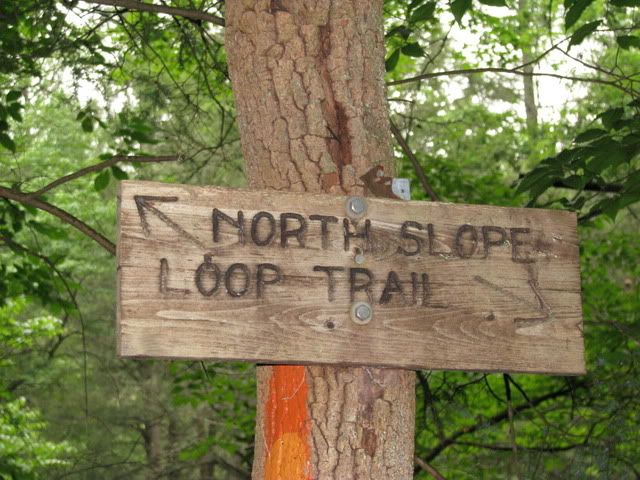
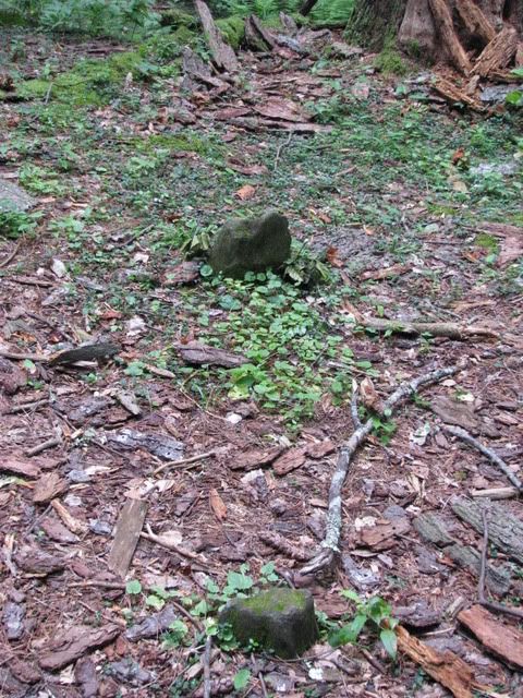
The North Slope




No comments:
Post a Comment